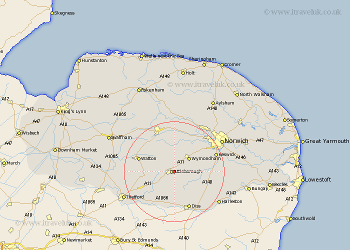
Norfolk Map Showing Location of Besthorpe
Population: 561
District: Breckland
Easting: 605789 Northing: 295344
Latitude: 52.52 Longitude: 1.03
 = Besthorpe
District: Breckland
Easting: 605789 Northing: 295344
Latitude: 52.52 Longitude: 1.03
= Besthorpe
This Besthorpe map below is supplied by Google. Use the tools in the top left corner to zoom into street level or zoom out for a road map, you may also need to zoom in to see Besthorpe on the map. Click and drag the map to move around. If the map fails to load try and refresh your browser or zoom in or out (+ or -).
Update - it seems Google no longer allow people to use their maps for free! This Besthorpe map sometimes loads and sometimes gives a error. I am working on a solution.
Closest 30 Towns or Cities to Besthorpe (Population over 500)
Attleborough 1.13km Old Buckenham 3.88km Great Ellingham 4.87km Banham 7.42km Bunwell 7.72km Wymondham 7.92km Rockland St Peter 8.11km Rockland St. Peter 8.11km Rockland Saint Peter 8.11km Rockland 8.11km Hingham 8.14km Quidenham 8.15km Kenninghall 9.87km Ashwellthorpe 10.31km Hockham 10.32km Forncett St. Mary 11.43km Forncett St Mary 11.43km Forncett 11.43km Forncett Saint Mary 11.43km East Harling 11.48km Moulton St. Michael 11.58km Great Moulton 11.58km Moulton St Michael 11.58km Moulton 11.58km Moulton Saint Michael 11.58km Griston 11.87km Carbrooke 12.56km Carbooke 12.56km North Lopham 13.17km Hethersett 13.73km