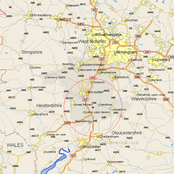
Worcestershire Map Showing Location of Besford
Population: 147
District: Wychavon
Easting: 390868 Northing: 244683
Latitude: 52.1 Longitude: -2.13
 = Besford
District: Wychavon
Easting: 390868 Northing: 244683
Latitude: 52.1 Longitude: -2.13
= Besford
This Besford map below is supplied by Google. Use the tools in the top left corner to zoom into street level or zoom out for a road map, you may also need to zoom in to see Besford on the map. Click and drag the map to move around. If the map fails to load try and refresh your browser or zoom in or out (+ or -).
Update - it seems Google no longer allow people to use their maps for free! This Besford map sometimes loads and sometimes gives a error. I am working on a solution.
Closest 30 Towns or Cities to Besford (Population over 500)
Defford 2.18km Wadborough 2.18km Eckington 3.87km Pershore 4.92km Seven Stoke 5.69km Severn Stoke 5.69km Kempsey 5.87km Peopleton 6.01km Upton 6.79km Upton upon Severn 6.79km Upton on Severn 6.79km Upton-on-Severn 6.79km Hanley Castle 7.08km Bredon 7.5km Ripple 8.17km Fladbury 8.18km Cropthorne 9.3km Charlton 10.25km Bishampton 10.88km Powick 10.88km Crowle 11.18km Beckford 11.51km Ashton-under-Hill 11.75km Ashton under Hill 11.75km Worcester 12.01km Malvern 12.66km Great Malvern 12.66km Welland 12.68km Sedgeberrow 13.59km Castlemorton 13.59km