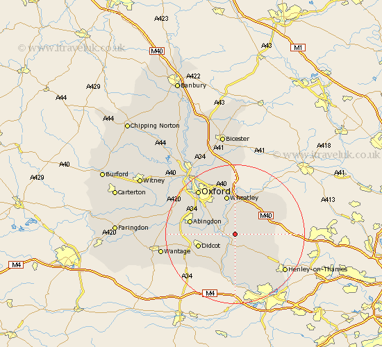
Oxfordshire Map Showing Location of Berrick Salome
Population: 325
District: South Oxfordshire
Easting: 462282 Northing: 193156
Latitude: 51.63 Longitude: -1.1
 = Berrick Salome
District: South Oxfordshire
Easting: 462282 Northing: 193156
Latitude: 51.63 Longitude: -1.1
= Berrick Salome
This Berrick Salome map below is supplied by Google. Use the tools in the top left corner to zoom into street level or zoom out for a road map, you may also need to zoom in to see Berrick Salome on the map. Click and drag the map to move around. If the map fails to load try and refresh your browser or zoom in or out (+ or -).
Update - it seems Google no longer allow people to use their maps for free! This Berrick Salome map sometimes loads and sometimes gives a error. I am working on a solution.
Closest 30 Towns or Cities to Berrick Salome (Population over 500)
Benson 1.15km Chalgrove 2.18km Warborough 2.95km Drayton 2.96km Drayton St Leonard 2.96km Drayton Saint Leonard 2.96km Drayton St. Leonard 2.96km Ewelme 4.36km Wallingford 4.36km Stadhampton 4.37km Dorchester 4.6km Watlington 6.9km Clifton Hampden 7.15km Great Haseley 7.76km Cholsey 8.17km Garsington 8.18km Nuffield 8.72km Long Wittenham 9.2km Milton 9.35km Great Milton 9.35km Cuddesdon 9.55km Lewknor 9.92km Tetsworth 10.13km Radley 10.75km Hagbourne 10.76km East Hagbourne 10.76km Nettlebed 10.94km Aston Rowant 11km Didcot 11km Tiddington 11.35km