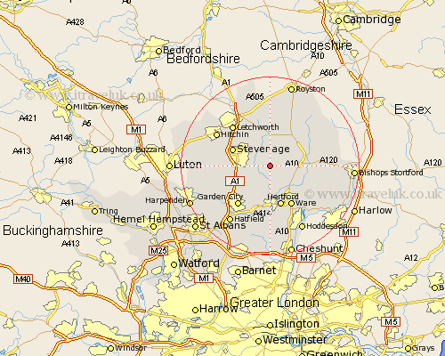
Hertfordshire Map Showing Location of Benington
Population: 922
District: East Hertfordshire
Easting: 530756 Northing: 222281
Latitude: 51.88 Longitude: -0.1
 = Benington
District: East Hertfordshire
Easting: 530756 Northing: 222281
Latitude: 51.88 Longitude: -0.1
= Benington
This Benington map below is supplied by Google. Use the tools in the top left corner to zoom into street level or zoom out for a road map, you may also need to zoom in to see Benington on the map. Click and drag the map to move around. If the map fails to load try and refresh your browser or zoom in or out (+ or -).
Update - it seems Google no longer allow people to use their maps for free! This Benington map sometimes loads and sometimes gives a error. I am working on a solution.
Closest 30 Towns or Cities to Benington (Population over 500)
Aston 3.43km Watton at Stone 3.7km Watton 3.7km Little Munden 3.9km Walkern 4.36km Datchworth 5.05km Stapleford 5.56km Cottered 5.68km Knebworth 6.82km Harmer Green 7.78km Thundridge 7.98km Tewin 8.16km Braughing 8.22km Weston 8.71km Stevenage 8.82km Graveley 8.83km Standon 9.15km Buntingford 9.36km Hertford 9.54km Great Wymondley 9.74km Wymondley 9.74km Welwyn 9.75km Codicote 9.88km Ware 10.33km Hertingfordbury 11.12km Garden City 11.53km Welwyn Garden City 11.53km Hormead 11.77km Widford 11.78km Little Amwell 12.03km