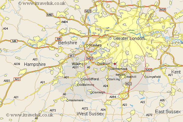
Surrey Map Showing Location of Epsom
District: Epsom and Ewell
Easting: 520781 Northing: 158992
Latitude: 51.32 Longitude: -0.27
 = Epsom
Easting: 520781 Northing: 158992
Latitude: 51.32 Longitude: -0.27
= Epsom
This Epsom map below is supplied by Google. Use the tools in the top left corner to zoom into street level or zoom out for a road map, you may also need to zoom in to see Epsom on the map. Click and drag the map to move around. If the map fails to load try and refresh your browser or zoom in or out (+ or -).
Update - it seems Google no longer allow people to use their maps for free! This Epsom map sometimes loads and sometimes gives a error. I am working on a solution.
Closest 30 Towns or Cities to Epsom (Population over 500)
Tadworth 4.38km Leatherhead 5.09km Oxshott 5.79km Claygate 6.87km Banstead 6.95km Esher 7.87km Mickleham 8.19km Betchworth 9.35km Buckland 9.35km Reigate 9.9km Church Cobham 10.42km Cobham 10.42km Molesey 10.92km Redhill 11.59km Effingham 11.87km Dorking 12.05km Westcott 12.54km Whyteleafe 12.74km Sunbury 13.1km Lower Sunbury 13.1km Sunbury on Thames 13.1km Sunbury-on-Thames 13.1km Leigh 13.18km Walton 13.74km Walton upon Thames 13.74km Horsley 13.76km East Horsley 13.76km West Horsley 13.91km Caterham 13.91km Byfleet 14.02km