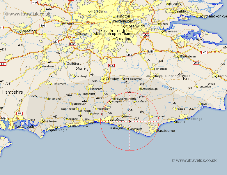
Sussex Map Showing Location of Beddingham
Population: 267
District: Lewes
Easting: 544342 Northing: 105816
Latitude: 50.83 Longitude: 0.05
 = Beddingham
District: Lewes
Easting: 544342 Northing: 105816
Latitude: 50.83 Longitude: 0.05
= Beddingham
This Beddingham map below is supplied by Google. Use the tools in the top left corner to zoom into street level or zoom out for a road map, you may also need to zoom in to see Beddingham on the map. Click and drag the map to move around. If the map fails to load try and refresh your browser or zoom in or out (+ or -).
Update - it seems Google no longer allow people to use their maps for free! This Beddingham map sometimes loads and sometimes gives a error. I am working on a solution.
Closest 30 Towns or Cities to Beddingham (Population over 500)
Kingston 5.04km Kingston near Lewes 5.04km Newhaven 5.68km Ringmer 5.68km Lewes 5.97km Chalvington 7.26km Barcombe Mills Station 7.51km Alfriston 7.94km Rottingdean 7.94km Laughton 8.07km Seaford 8.2km Saltdean 8.25km Plumpton 8.95km Isfield 11.18km Chiddingly 11.94km East Hoathly 12.37km Jevington 12.96km Chailey 13.19km Polegate 13.4km Ditchelling 14.03km Ditchling 14.03km Friston 14.03km Brighton 14.05km Framfield 14.23km Hellingly 14.52km Newick 15.01km Uckfield 15.24km Hailsham 15.66km Keymer 15.86km Hassocks 15.86km