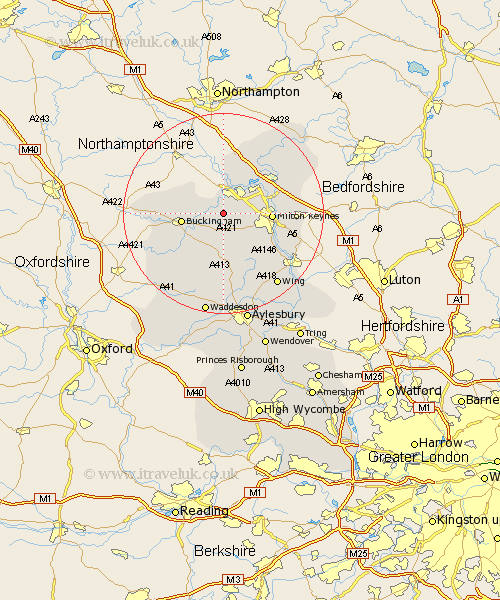
Buckinghamshire Map Showing Location of Beachampton
Population: 147
District: Aylesbury Vale
Easting: 477766 Northing: 236017
Latitude: 52.02 Longitude: -0.87
 = Beachampton
District: Aylesbury Vale
Easting: 477766 Northing: 236017
Latitude: 52.02 Longitude: -0.87
= Beachampton
This Beachampton map below is supplied by Google. Use the tools in the top left corner to zoom into street level or zoom out for a road map, you may also need to zoom in to see Beachampton on the map. Click and drag the map to move around. If the map fails to load try and refresh your browser or zoom in or out (+ or -).
Update - it seems Google no longer allow people to use their maps for free! This Beachampton map sometimes loads and sometimes gives a error. I am working on a solution.
Closest 30 Towns or Cities to Beachampton (Population over 500)
Stony Stratford 3.87km Wolverton 5.04km Thornborough 5.05km Great Horwood 5.56km Shenley 5.7km Shenley Church End 5.7km Bradwell 5.99km Akeley 7.09km Maids Moreton 7.09km Shenley Brook End 7.09km Winslow 7.42km Castlethorpe 7.75km Padbury 7.97km Buckingham 8.2km Newton Longville 8.82km Milton Keynes 9.38km Great Linford 9.72km Bletchley 9.85km Hanslope 9.87km Mursley 9.89km Stowe 10.27km Gawcott 10.69km Simpson 11.41km Steeple Claydon 12.24km Claydon 12.24km Newport Pagnell 12.65km Stoke Hammond 12.67km Stoke Goldington 13.05km Tingewick 13.09km Wavendon 13.69km