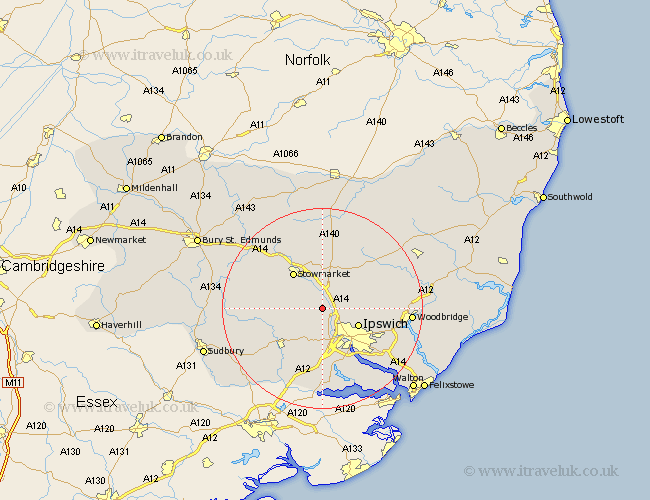
Suffolk Map Showing Location of Baylham
Population: 251
District: Mid Suffolk
Easting: 609935 Northing: 250968
Latitude: 52.12 Longitude: 1.07
 = Baylham
District: Mid Suffolk
Easting: 609935 Northing: 250968
Latitude: 52.12 Longitude: 1.07
= Baylham
This Baylham map below is supplied by Google. Use the tools in the top left corner to zoom into street level or zoom out for a road map, you may also need to zoom in to see Baylham on the map. Click and drag the map to move around. If the map fails to load try and refresh your browser or zoom in or out (+ or -).
Update - it seems Google no longer allow people to use their maps for free! This Baylham map sometimes loads and sometimes gives a error. I am working on a solution.
Closest 30 Towns or Cities to Baylham (Population over 500)
Somersham 2.18km Great Blakenham 2.94km Coddenham 3.88km Claydon 5.05km Great Bricett 5.69km Henley 5.69km Ringshall 5.98km Bramford 6.01km Hintlesham 7.5km Sprughton 7.76km Sproughton 7.76km Ipswich 7.78km Wirnesham 8.18km Witnesham 8.18km Stowmarket 9.34km Bildeston 10.41km Finborough 10.66km Great Finborough 10.66km Hadleigh 10.89km Hitcham 11.38km Old Newton 11.63km Otley 11.96km Haughley 12.49km Grundisburgh 12.66km Capel 12.98km Capel St. Mary 12.98km Capel St Mary 12.98km Capel Saint Mary 12.98km Layham 13.05km Debenham 13.67km