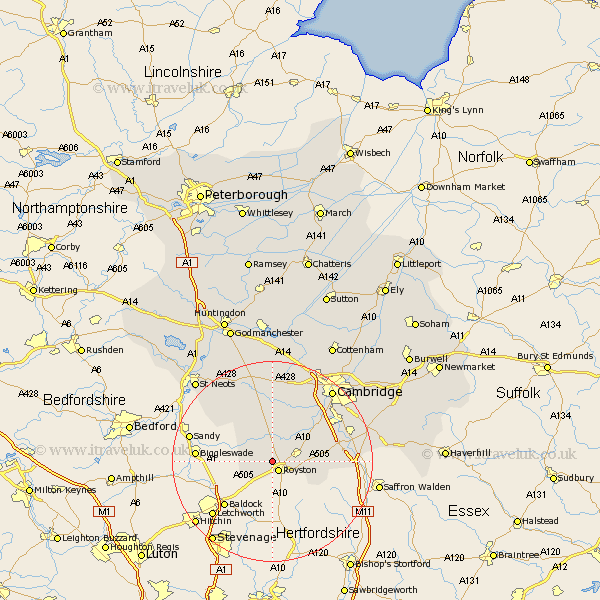
Cambridgeshire Map Showing Location of Bassingbourn
Population: 3439
Area Size (ha): 135
District: South Cambridgeshire
Easting: 533650 Northing: 242765
Latitude: 52.07 Longitude: -0.05
 = Bassingbourn
Area Size (ha): 135
District: South Cambridgeshire
Easting: 533650 Northing: 242765
Latitude: 52.07 Longitude: -0.05
= Bassingbourn
This Bassingbourn map below is supplied by Google. Use the tools in the top left corner to zoom into street level or zoom out for a road map, you may also need to zoom in to see Bassingbourn on the map. Click and drag the map to move around. If the map fails to load try and refresh your browser or zoom in or out (+ or -).
Update - it seems Google no longer allow people to use their maps for free! This Bassingbourn map sometimes loads and sometimes gives a error. I am working on a solution.
Closest 30 Towns or Cities to Bassingbourn (Population over 500)
Litlington 2.28km Melborn 4.92km Melbourn 4.92km Steeple Morden 4.92km Meldreth 5.87km Guilden Morden 5.99km Orwell 7.75km Barrington 7.96km Shepreth 8.81km Fowlmere 9.3km Foulmere 9.3km Foxton 9.72km Haslingfield 10.08km Needham Market 10.87km Thriplow 10.9km Harston 11.74km Bourn 12.97km Gamlingay 12.99km Toft 13.16km Duxford 13.79km Hauxton 13.81km Gransden 14.16km Great Gransden 14.16km Comberton 14.16km Shelford 14.55km Whittlesford 14.75km Hardwick 15.51km Hardwicke 15.51km Sawston 15.81km Ickleton 15.95km