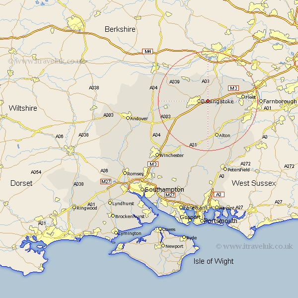
Hampshire Map Showing Location of Basing
Population: 3279
Area Size (ha): 115
District: Basingstoke and Deane
Easting: 467434 Northing: 152449
Latitude: 51.27 Longitude: -1.03
 = Basing
Area Size (ha): 115
District: Basingstoke and Deane
Easting: 467434 Northing: 152449
Latitude: 51.27 Longitude: -1.03
= Basing
This Basing map below is supplied by Google. Use the tools in the top left corner to zoom into street level or zoom out for a road map, you may also need to zoom in to see Basing on the map. Click and drag the map to move around. If the map fails to load try and refresh your browser or zoom in or out (+ or -).
Update - it seems Google no longer allow people to use their maps for free! This Basing map sometimes loads and sometimes gives a error. I am working on a solution.
Closest 30 Towns or Cities to Basing (Population over 500)
Basingstoke 3.48km Sherfield 3.88km Sherfield upon Loddon 3.88km Rotherwick 4.99km Hook 5.8km Upton Grey 6.02km Bramley 6.02km Odiham 7.2km Long Sutton 8.91km Silchester 9.55km Winchfield 10.44km Oakley 10.6km Dummer 11km Hartley Wintney 11.07km Tadley 11.58km Baughurst 11.87km North Waltham 12.81km Froyle 13.77km Crondall 13.92km Fleet 14.03km Bentley 14.86km Alton 15.24km Overton 15.53km Kingsclere 16.06km Binsted 16.66km Four Marks 16.72km Medstead 16.84km Ecchinswell 17.83km Blackwater 18.25km Aldershot 18.65km