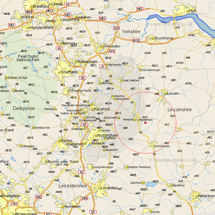
Nottinghamshire Map Showing Location of Barnby
Population: 244
District: Newark and Sherwood
Easting: 486015 Northing: 351107
Latitude: 53.05 Longitude: -0.72
 = Barnby
District: Newark and Sherwood
Easting: 486015 Northing: 351107
Latitude: 53.05 Longitude: -0.72
= Barnby
This Barnby map below is supplied by Google. Use the tools in the top left corner to zoom into street level or zoom out for a road map, you may also need to zoom in to see Barnby on the map. Click and drag the map to move around. If the map fails to load try and refresh your browser or zoom in or out (+ or -).
Update - it seems Google no longer allow people to use their maps for free! This Barnby map sometimes loads and sometimes gives a error. I am working on a solution.
Closest 30 Towns or Cities to Barnby (Population over 500)
Coddington 4.32km Balderton 4.83km Newark 6.94km Newark upon Trent 6.94km Newark on Trent 6.94km Newark-on-Trent 6.94km Winthorpe 7.12km Farndon 8.91km Muskham 9.98km North Muskham 9.98km Elston 10.69km North Collingham 11.34km Collingham 11.34km Fiskerton Ferry 12.25km Fiskerton 12.25km Flintham 14.33km Bleasby 14.6km Southwell 16.59km Aslocton 17.11km Aslockton 17.11km East Bridgford 18.15km Bingham 20.3km Barnstone 20.71km Tuxford 21.62km Farnsfield 21.87km Shelford 22.11km Burton Joyce 22.44km Bilsthorpe 23.09km Cropwell 23.2km Cropwell Butler 23.2km