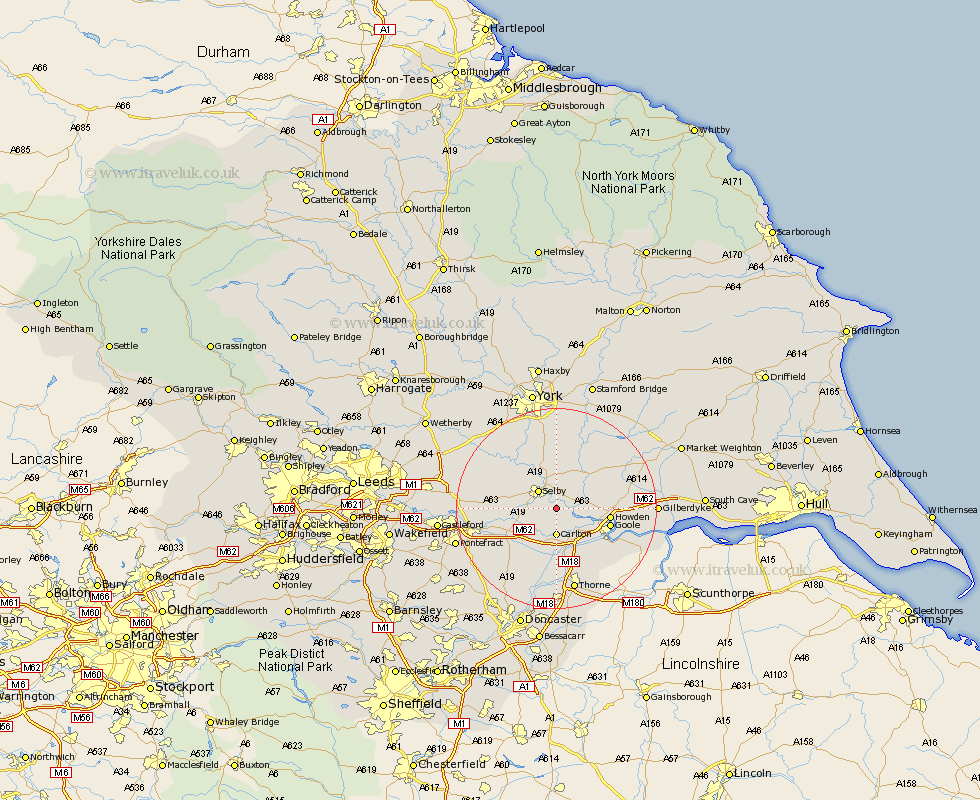
Yorkshire Map Showing Location of Barlow
Population: 568
District: Selby
Easting: 464835 Northing: 428654
Latitude: 53.75 Longitude: -1.02
 = Barlow
District: Selby
Easting: 464835 Northing: 428654
Latitude: 53.75 Longitude: -1.02
= Barlow
This Barlow map below is supplied by Google. Use the tools in the top left corner to zoom into street level or zoom out for a road map, you may also need to zoom in to see Barlow on the map. Click and drag the map to move around. If the map fails to load try and refresh your browser or zoom in or out (+ or -).
Update - it seems Google no longer allow people to use their maps for free! This Barlow map sometimes loads and sometimes gives a error. I am working on a solution.
Closest 30 Towns or Cities to Barlow (Population over 500)
Hemingbrough 2.87km Cliffe Common 2.87km Cliff Common Station 2.87km Brayton 4.76km Selby 4.95km Carlton 5.56km Snaith 7.5km Hensall 7.81km Airmyn 8.52km Rawcliffe 8.62km Wistow 9.22km Riccall 9.52km Pollington 9.83km Bubwith 9.91km Hambleton 10.03km Howden 10.04km Goole 10.54km Cawood 11.36km Whitley 11.49km Hook 11.57km Swinefleet 14.16km Monk Fryston 14.25km Escrick 14.98km Church Fenton 15.09km Wheldrake 15.18km Knottingly 15.3km Knottingley 15.3km Eastrington 15.34km South Milford 15.45km Sherburn 16.31km