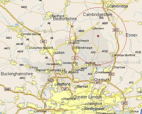
Hertfordshire Map Showing Location of Barkway
Population: 656
District: North Hertfordshire
Easting: 538425 Northing: 235473
Latitude: 52 Longitude: 0.02
 = Barkway
District: North Hertfordshire
Easting: 538425 Northing: 235473
Latitude: 52 Longitude: 0.02
= Barkway
This Barkway map below is supplied by Google. Use the tools in the top left corner to zoom into street level or zoom out for a road map, you may also need to zoom in to see Barkway on the map. Click and drag the map to move around. If the map fails to load try and refresh your browser or zoom in or out (+ or -).
Update - it seems Google no longer allow people to use their maps for free! This Barkway map sometimes loads and sometimes gives a error. I am working on a solution.
Closest 30 Towns or Cities to Barkway (Population over 500)
Barley 3.87km Therfield 4.93km Hormead 5.68km Buntingford 6.01km Royston 6.53km Cottered 10.1km Braughing 11.12km Ashwell 11.99km Albury 12.02km Standon 13.03km Weston 13.73km Little Hadham 13.76km Baldock 13.82km Walkern 13.84km Benington 15.24km Bennington 15.24km Little Munden 15.51km Letchworth 16.4km Graveley 16.59km Aston 17.29km Much Hadham 17.29km Great Wymondley 17.62km Wymondley 17.62km Bishops Strotford 18.04km Bishop's Stortford 18.04km Bishops Stortford 18.04km Stevenage 18.48km Watton at Stone 18.5km Watton 18.5km Thundridge 18.68km