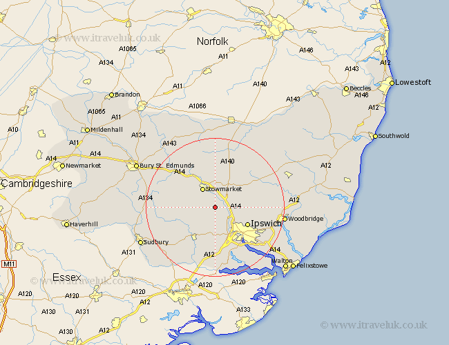
Suffolk Map Showing Location of Barking
Population: 440
District: Mid Suffolk
Easting: 607576 Northing: 252718
Latitude: 52.13 Longitude: 1.03
 = Barking
District: Mid Suffolk
Easting: 607576 Northing: 252718
Latitude: 52.13 Longitude: 1.03
= Barking
This Barking map below is supplied by Google. Use the tools in the top left corner to zoom into street level or zoom out for a road map, you may also need to zoom in to see Barking on the map. Click and drag the map to move around. If the map fails to load try and refresh your browser or zoom in or out (+ or -).
Update - it seems Google no longer allow people to use their maps for free! This Barking map sometimes loads and sometimes gives a error. I am working on a solution.
Closest 30 Towns or Cities to Barking (Population over 500)
Ringshall 3.41km Somersham 3.88km Great Bricett 3.88km Coddenham 5.69km Great Blakenham 5.87km Stowmarket 6.52km Great Finborough 7.77km Finborough 7.77km Claydon 7.96km Henley 8.18km Bramford 8.69km Bildeston 8.78km Hitcham 9.29km Hintlesham 9.33km Old Newton 9.34km Haughley 9.88km Sproughton 10.32km Sprughton 10.32km Ipswich 10.67km Hadleigh 10.87km Witnesham 10.89km Wirnesham 10.89km Rattlesden 11.64km Woolpit 12.99km Mendlesham 13.17km Elmswell 13.67km Layham 13.74km Otley 13.77km Debenham 13.81km Bacton 14.88km