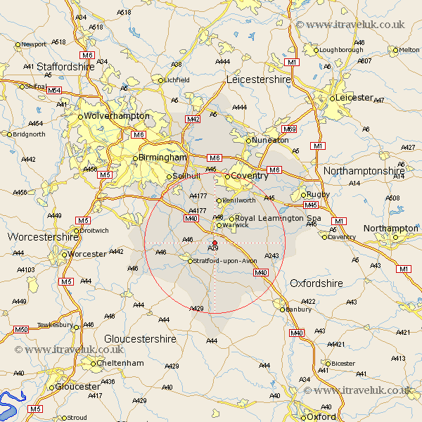
Warwickshire Map Showing Location of Barford
Population: 1171
District: Warwick
Easting: 427314 Northing: 259575
Latitude: 52.23 Longitude: -1.6
 = Barford
District: Warwick
Easting: 427314 Northing: 259575
Latitude: 52.23 Longitude: -1.6
= Barford
This Barford map below is supplied by Google. Use the tools in the top left corner to zoom into street level or zoom out for a road map, you may also need to zoom in to see Barford on the map. Click and drag the map to move around. If the map fails to load try and refresh your browser or zoom in or out (+ or -).
Update - it seems Google no longer allow people to use their maps for free! This Barford map sometimes loads and sometimes gives a error. I am working on a solution.
Closest 30 Towns or Cities to Barford (Population over 500)
Bishops Tachbrook 4.54km Warwick 5.67km Wellesbourne Hastings 5.67km Wellesbourne 5.67km Whitnash 5.97km Claverdon 7.75km Hatton 8.16km Shrewley 8.69km Royal Leamington Spa 8.69km Leamington 8.69km Leamington Spa 8.69km Lighthorne 8.79km Stratford on Avon 8.79km Stratford-upon-Avon 8.79km Stratford-on-Avon 8.79km Stratford 8.79km Stratford upon Avon 8.79km Bearley 9.08km Snitterfield 9.08km Harbury 10.22km Ettington 11.12km Eatington 11.12km Wootton Wawen 11.5km Kineton 11.5km Rowington 11.5km Bishops Itchington 11.94km Henley in Arden 12.63km Kenilworth 13.03km Aston Cantlow 13.62km Stoneleigh 14.16km