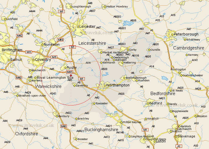
Northamptonshire Map Showing Location of Barby
Population: 2083
District: Daventry
Easting: 454526 Northing: 269077
Latitude: 52.32 Longitude: -1.2
 = Barby
District: Daventry
Easting: 454526 Northing: 269077
Latitude: 52.32 Longitude: -1.2
= Barby
This Barby map below is supplied by Google. Use the tools in the top left corner to zoom into street level or zoom out for a road map, you may also need to zoom in to see Barby on the map. Click and drag the map to move around. If the map fails to load try and refresh your browser or zoom in or out (+ or -).
Update - it seems Google no longer allow people to use their maps for free! This Barby map sometimes loads and sometimes gives a error. I am working on a solution.
Closest 30 Towns or Cities to Barby (Population over 500)
Kilsby 2.92km Braunston 3.71km Crick 4.89km Welton 5.03km Daventry 7.76km Yelvertoft 7.93km West Haddon 9.25km Long Buckby 9.25km Badby 11.18km East Haddon 12.6km Guilsborough 13.72km Flore 13.79km Weedon 14.35km Weedon Beck 14.35km Welford 15.08km Naseby 16.47km Byfield 16.83km Spratton 16.99km Harpole 17.42km Upper Boddington 17.62km Boddington 17.62km Bugbrooke 18km Kislingbury 19.38km Clipston 20.29km Brixworth 20.39km Boughton 20.73km Pattishall 20.83km Pitsford 21.61km Chipping Warden 22.7km Northampton 22.78km