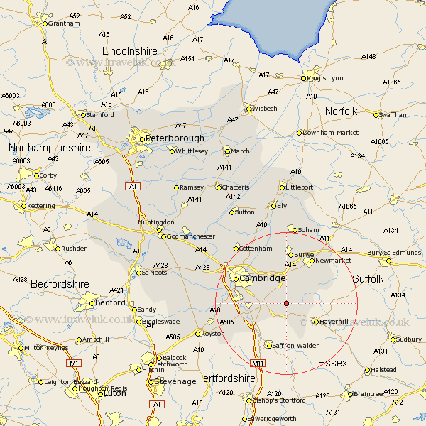
Cambridgeshire Map Showing Location of Balsham
Population: 1641
District: South Cambridgeshire
Easting: 558541 Northing: 250909
Latitude: 52.13 Longitude: 0.32
 = Balsham
District: South Cambridgeshire
Easting: 558541 Northing: 250909
Latitude: 52.13 Longitude: 0.32
= Balsham
This Balsham map below is supplied by Google. Use the tools in the top left corner to zoom into street level or zoom out for a road map, you may also need to zoom in to see Balsham on the map. Click and drag the map to move around. If the map fails to load try and refresh your browser or zoom in or out (+ or -).
Update - it seems Google no longer allow people to use their maps for free! This Balsham map sometimes loads and sometimes gives a error. I am working on a solution.
Closest 30 Towns or Cities to Balsham (Population over 500)
Linton 5.04km Wilbraham 7.18km Great Wilbraham 7.18km Dullingham 8.16km Fulbourne 8.8km Fulbourn 8.8km Stetchworth 9.34km Castle Camp 9.87km Castle Camps 9.87km Bottisham 9.88km Sawston 10.41km Swaffham Bulbeck 11.35km Whittlesford 11.53km Teversham 11.73km Ickleton 11.74km Shelford 12.51km Duxford 12.67km Swaffham Prior 13.03km Cheveley 13.8km Ashley 14.67km Burwell 14.88km Hauxton 14.9km Thriplow 15.25km Cambridge 15.53km Waterbeach 15.84km Milton 15.9km Harston 15.93km Fowlmere 16.88km Foulmere 16.88km Foxton 17.17km