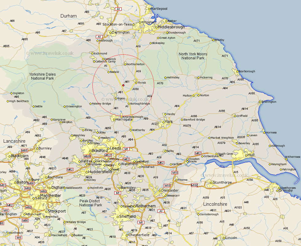
Yorkshire Map Showing Location of Baldersby
Population: 253
District: Harrogate
Easting: 435875 Northing: 478407
Latitude: 54.2 Longitude: -1.45
 = Baldersby
District: Harrogate
Easting: 435875 Northing: 478407
Latitude: 54.2 Longitude: -1.45
= Baldersby
This Baldersby map below is supplied by Google. Use the tools in the top left corner to zoom into street level or zoom out for a road map, you may also need to zoom in to see Baldersby on the map. Click and drag the map to move around. If the map fails to load try and refresh your browser or zoom in or out (+ or -).
Update - it seems Google no longer allow people to use their maps for free! This Baldersby map sometimes loads and sometimes gives a error. I am working on a solution.
Closest 30 Towns or Cities to Baldersby (Population over 500)
Topcliffe 4.72km Dishforth 5.97km West Tanfield 7.59km Tanfield 7.59km Thirsk 7.81km Ripon 10.23km Bedale 12.68km Masham 13.14km Grewelthorpe 13.14km Boroughbridge 13.38km Monkton 13.38km Bishop Monkton 13.38km Kirkby Malzeard 13.53km Northallerton 14.86km Raskelf 14.98km Burton Leonard 15.18km Crakehall 15.52km Marton 15.78km Marton le Moor 15.78km Brompton 16.82km Easingwold 18.73km Ouseburn 18.81km Great Ouseburn 18.81km Alne 19.17km Osmotherley 20.94km Tollerton 21.23km Killinghall 21.4km Birstwith 21.48km Ampleforth 21.68km Catterick 22.02km