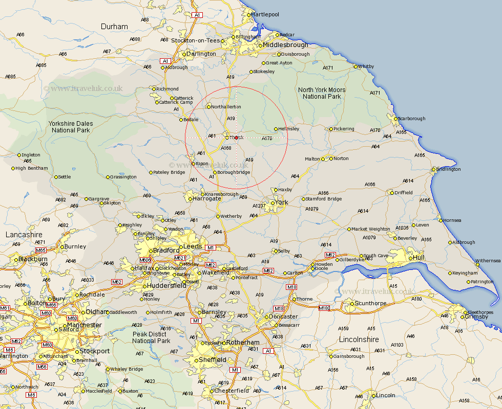
Yorkshire Map Showing Location of Bagby
Population: 470
District: Hambleton
Easting: 446728 Northing: 480363
Latitude: 54.22 Longitude: -1.28
 = Bagby
District: Hambleton
Easting: 446728 Northing: 480363
Latitude: 54.22 Longitude: -1.28
= Bagby
This Bagby map below is supplied by Google. Use the tools in the top left corner to zoom into street level or zoom out for a road map, you may also need to zoom in to see Bagby on the map. Click and drag the map to move around. If the map fails to load try and refresh your browser or zoom in or out (+ or -).
Update - it seems Google no longer allow people to use their maps for free! This Bagby map sometimes loads and sometimes gives a error. I am working on a solution.
Closest 30 Towns or Cities to Bagby (Population over 500)
Thirsk 3.25km Topcliffe 7.49km Raskelf 9.52km Ampleforth 11km Dishforth 11.41km Easingwold 12.37km Helmsley 14.56km Alne 15.19km Northallerton 16.22km Boroughbridge 16.67km Osmotherley 16.71km Stillington 16.92km Brompton 17.16km Tollerton 17.24km Marton 17.54km Marton le Moor 17.54km Huby 17.76km West Tanfield 18.52km Tanfield 18.52km Ouseburn 18.66km Great Ouseburn 18.66km Ripon 18.83km Nawton 19.59km Monkton 20.47km Bishop Monkton 20.47km Linton-on-Ouse 20.51km Linton on Ouse 20.51km Linton upon Ouse 20.51km Linton 20.51km Bedale 20.85km