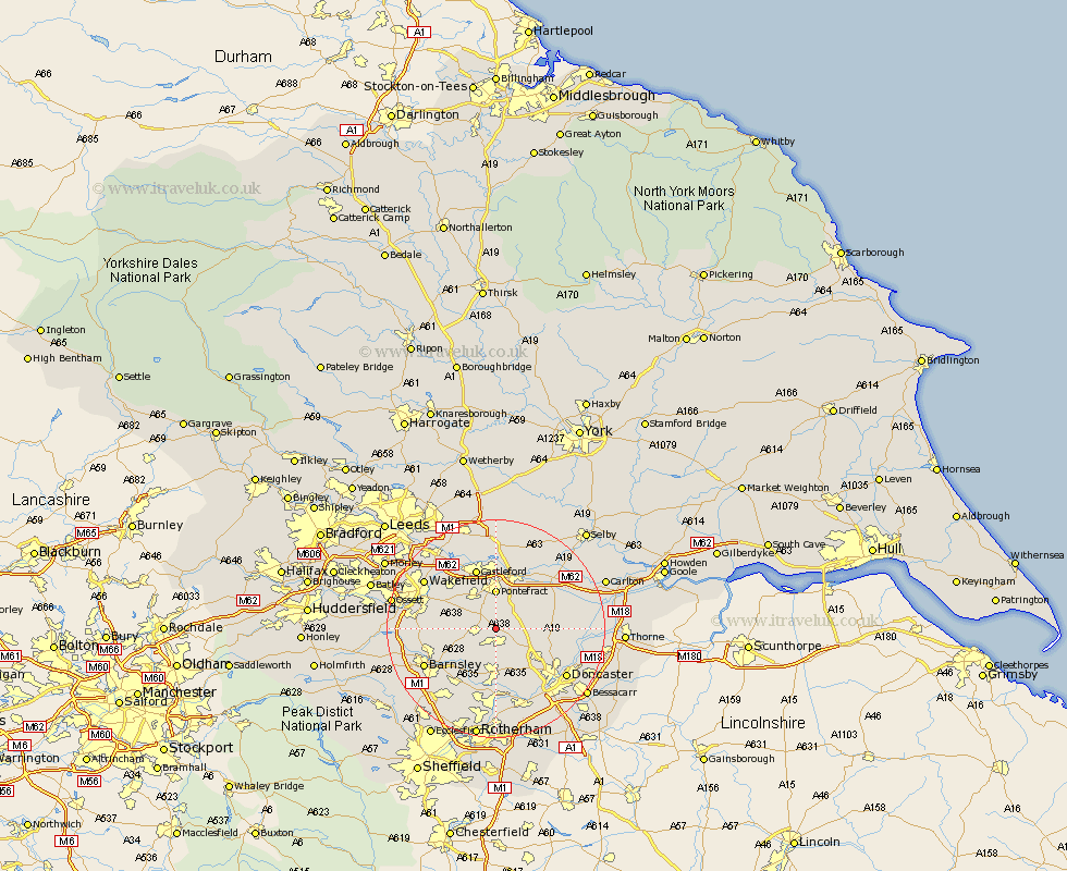
Yorkshire Map Showing Location of Badsworth
Population: 583
District: Wakefield
Easting: 446300 Northing: 413604
Latitude: 53.62 Longitude: -1.3
 = Badsworth
District: Wakefield
Easting: 446300 Northing: 413604
Latitude: 53.62 Longitude: -1.3
= Badsworth
This Badsworth map below is supplied by Google. Use the tools in the top left corner to zoom into street level or zoom out for a road map, you may also need to zoom in to see Badsworth on the map. Click and drag the map to move around. If the map fails to load try and refresh your browser or zoom in or out (+ or -).
Update - it seems Google no longer allow people to use their maps for free! This Badsworth map sometimes loads and sometimes gives a error. I am working on a solution.
Closest 30 Towns or Cities to Badsworth (Population over 500)
Upton 1.1km North Elmsall 3.3km South Kirkby 3.67km Moorthorpe 3.71km Hemsworth 3.79km South Elmsall 3.87km High Ackworth 4.31km Ackworth Moor Top 4.31km Ackworth 4.31km Fitzwilliam 5.8km Darrington 6.46km Pontefract 7.41km Campsall 7.7km Brodsworth 7.74km Norton 7.91km Houghton 8.12km Great Houghton 8.12km Crofton 8.54km Shafton 8.55km Little Houghton 8.62km Ryhill 8.79km Sutton 8.99km Dearne 9.27km Carcroft 9.5km Adwick le Street 9.5km Cudworth 9.5km Royston 10.07km Featherstone 10.25km Knottingly 10.25km Knottingley 10.25km