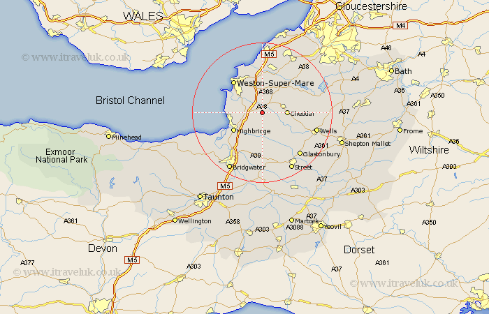
Somerset Map Showing Location of Badgworth
Population: 452
District: Sedgemoor
Easting: 339541 Northing: 152362
Latitude: 51.27 Longitude: -2.87
 = Badgworth
District: Sedgemoor
Easting: 339541 Northing: 152362
Latitude: 51.27 Longitude: -2.87
= Badgworth
This Badgworth map below is supplied by Google. Use the tools in the top left corner to zoom into street level or zoom out for a road map, you may also need to zoom in to see Badgworth on the map. Click and drag the map to move around. If the map fails to load try and refresh your browser or zoom in or out (+ or -).
Update - it seems Google no longer allow people to use their maps for free! This Badgworth map sometimes loads and sometimes gives a error. I am working on a solution.
Closest 30 Towns or Cities to Badgworth (Population over 500)
Weare 2.32km Axbridge 4.99km Banwell 5.56km Shipham 5.93km Mark 6.02km Lympsham 6.08km Wedmore 6.56km Bleadon 6.88km Cheddar 6.96km Brent Knoll 7.2km Priddy 7.2km Hutton 7.24km Locking 7.5km Sandford 7.76km Churchill 8.74km Rodney Stoke 9.46km Highbridge 9.84km Burnham-on-Sea 9.99km Burnham 9.99km Burnham on Sea 9.99km Berrow 10.44km Brean 10.6km Huntspill 11km Westbury 11.08km Congresbury 12.05km Weston-Super-Mare 12.31km Meare 12.54km Blagdon 12.79km Wrington 13.11km Puriton 13.12km