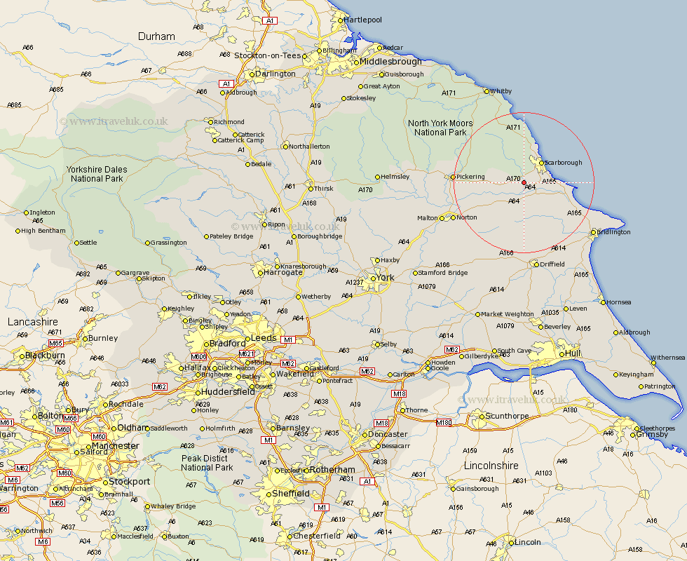
Yorkshire Map Showing Location of Ayton
District: Scarborough
Easting: 498846 Northing: 483034
Latitude: 54.23 Longitude: -0.48
 = Ayton
Easting: 498846 Northing: 483034
Latitude: 54.23 Longitude: -0.48
= Ayton
This Ayton map below is supplied by Google. Use the tools in the top left corner to zoom into street level or zoom out for a road map, you may also need to zoom in to see Ayton on the map. Click and drag the map to move around. If the map fails to load try and refresh your browser or zoom in or out (+ or -).
Update - it seems Google no longer allow people to use their maps for free! This Ayton map sometimes loads and sometimes gives a error. I am working on a solution.
Closest 30 Towns or Cities to Ayton (Population over 500)
Seamer 3.25km Brompton 4.71km Eastfield 5.42km Willerby 5.97km Scalby 6.44km Snainton 6.76km Scarborough 7.49km Cayton 7.58km Sherburn 7.72km Yedingham 9.43km Burniston 9.83km Cloughton 11.58km Filey 12.89km Hunmanby 13.13km Thornton-le-Dale 15.16km Thornton Dale 15.16km Great Driffield 15.18km Rillington 16.87km Pickering 18.5km Fylingdales 20.65km Norton 21.34km Kilham 21.75km Bempton 23.41km Bridlington 23.62km Malton 23.99km Hawsker 24.69km Nafferton 24.95km Driffield 25.41km Wetwang 26.5km Sleights 26.87km