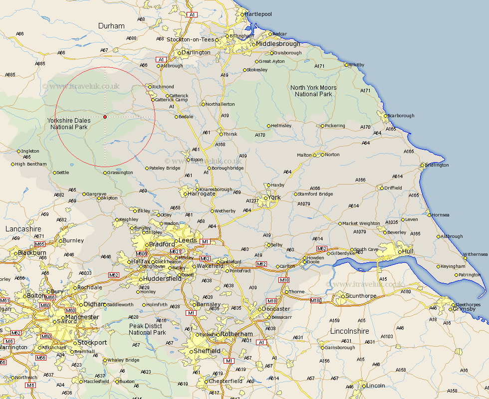
Yorkshire Map Showing Location of Aysgarth
Population: 197
District: Richmondshire
Easting: 401085 Northing: 487535
Latitude: 54.28 Longitude: -1.98
 = Aysgarth
District: Richmondshire
Easting: 401085 Northing: 487535
Latitude: 54.28 Longitude: -1.98
= Aysgarth
This Aysgarth map below is supplied by Google. Use the tools in the top left corner to zoom into street level or zoom out for a road map, you may also need to zoom in to see Aysgarth on the map. Click and drag the map to move around. If the map fails to load try and refresh your browser or zoom in or out (+ or -).
Update - it seems Google no longer allow people to use their maps for free! This Aysgarth map sometimes loads and sometimes gives a error. I am working on a solution.
Closest 30 Towns or Cities to Aysgarth (Population over 500)
Bradley 7.48km Middleham 10.82km Leyburn 10.97km Hawes 14.18km Richmond 20.76km Masham 22.89km Crakehall 23.87km Gilling 24.02km Grassington 24.09km Grewelthorpe 24.35km Catterick 24.52km Kirkby Malzeard 25.25km Bedale 25.97km Threshfield 26.03km Bewerley 26.33km Scorton 27.23km Middleton Tyas 28.46km West Tanfield 28.61km Tanfield 28.61km Melsonby 29.53km Barton 29.7km Settle 30.33km North Cowton 30.94km Dacre 31.21km Giggleswick 31.83km Cowton 32.72km East Cowton 32.72km Clapham 33.05km Darley 33.36km Gargrave 34.21km