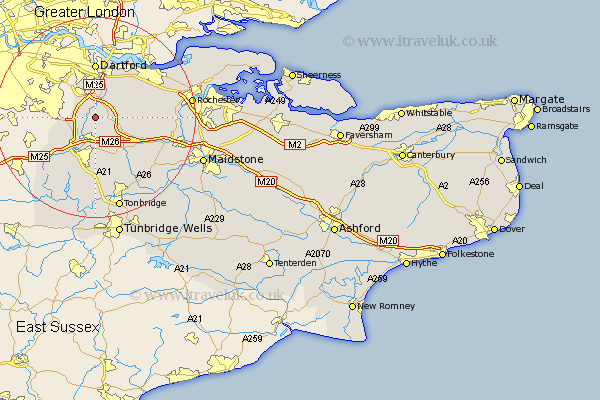
Kent Map Showing Location of Eynsford
Population: 3075
Area Size (ha): 107
District: Sevenoaks
Easting: 554346 Northing: 163601
Latitude: 51.35 Longitude: 0.22
 = Eynsford
Area Size (ha): 107
District: Sevenoaks
Easting: 554346 Northing: 163601
Latitude: 51.35 Longitude: 0.22
= Eynsford
This Eynsford map below is supplied by Google. Use the tools in the top left corner to zoom into street level or zoom out for a road map, you may also need to zoom in to see Eynsford on the map. Click and drag the map to move around. If the map fails to load try and refresh your browser or zoom in or out (+ or -).
Update - it seems Google no longer allow people to use their maps for free! This Eynsford map sometimes loads and sometimes gives a error. I am working on a solution.
Closest 30 Towns or Cities to Eynsford (Population over 500)
Farningham 1.86km West Kingsdown 2.96km Shoreham 4.37km Hextable 4.76km Swanley 5.08km Kemsing 5.68km Ash 5.79km Otford 6.02km Halstead 6.87km Halsted 6.87km Fort Halstead 6.87km Hartley 7.19km Ridley 7.19km Seal 7.42km Darenth 7.51km Wilmington 7.51km Longfield 7.87km Southfleet 8.89km Wrotham 8.9km Sevenoaks 9.33km Borough Green 9.41km Chevening 9.41km Knockholt 9.83km Stonewood 10.35km Meopham 10.58km Dartford 11.12km Swanscombe 11.57km Northfleet 12.3km Brasted 12.31km Plaxtol 12.54km