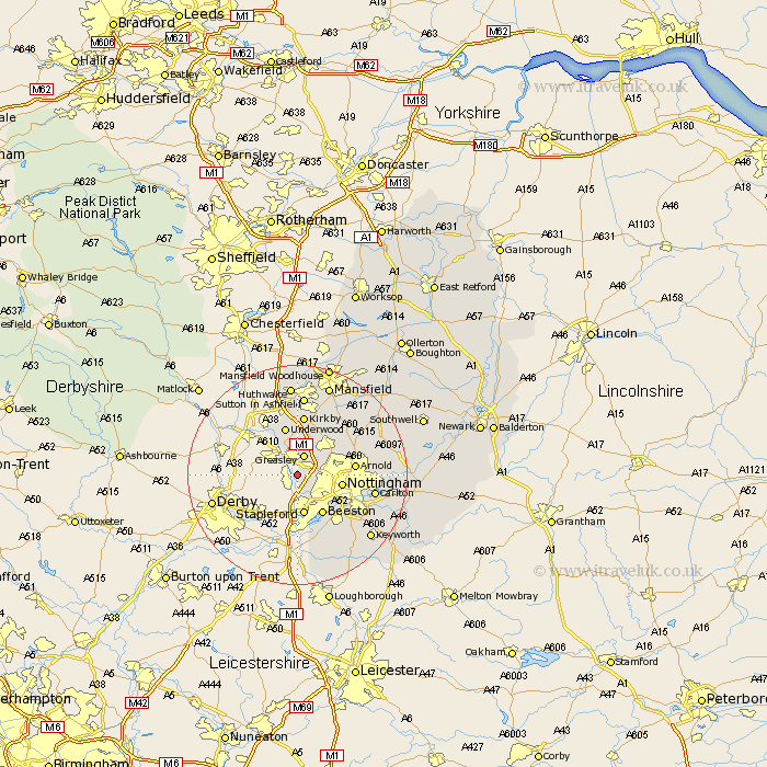
Nottinghamshire Map Showing Location of Awsworth
Population: 2864
Area Size (ha): 47
District: Broxtowe
Easting: 448109 Northing: 343159
Latitude: 52.98 Longitude: -1.28
 = Awsworth
Area Size (ha): 47
District: Broxtowe
Easting: 448109 Northing: 343159
Latitude: 52.98 Longitude: -1.28
= Awsworth
This Awsworth map below is supplied by Google. Use the tools in the top left corner to zoom into street level or zoom out for a road map, you may also need to zoom in to see Awsworth on the map. Click and drag the map to move around. If the map fails to load try and refresh your browser or zoom in or out (+ or -).
Update - it seems Google no longer allow people to use their maps for free! This Awsworth map sometimes loads and sometimes gives a error. I am working on a solution.
Closest 30 Towns or Cities to Awsworth (Population over 500)
Kimberley 1.11km Cossall 1.85km Eastwood 2.17km Greasley 3.88km Brinsley 4.33km Trowell 5.56km Stapleford 7.49km Annesley 7.74km Nottingham 8.03km Nottigham 8.03km Beeston 8.65km Underwood 9.08km Selston 9.54km Papplewick 9.99km Arnold 10.21km Newstead 10.29km Kirkby in Ashfield 11.18km Kirkby 11.18km West Bridgford 13.4km West Bridgeford 13.4km Carlton 13.9km Colwick 13.9km Ruddington 14.27km Calverton 14.49km Claverton 14.49km Lambley 14.5km Sutton in Ashfield 14.87km Woodborough 14.97km Blidworth 14.98km Tollerton 15.31km