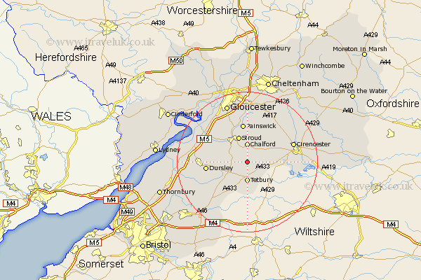
Gloucestershire Map Showing Location of Avening
Population: 1094
District: Cotswold
Easting: 388478 Northing: 198346
Latitude: 51.68 Longitude: -2.17
 = Avening
District: Cotswold
Easting: 388478 Northing: 198346
Latitude: 51.68 Longitude: -2.17
= Avening
This Avening map below is supplied by Google. Use the tools in the top left corner to zoom into street level or zoom out for a road map, you may also need to zoom in to see Avening on the map. Click and drag the map to move around. If the map fails to load try and refresh your browser or zoom in or out (+ or -).
Update - it seems Google no longer allow people to use their maps for free! This Avening map sometimes loads and sometimes gives a error. I am working on a solution.
Closest 30 Towns or Cities to Avening (Population over 500)
Minchinhampton 1.86km Nailsworth 2.3km Horsley 4.6km Chalford 5.56km Tetbury 5.56km Woodchester 5.91km Stroud 7.76km Uley 10.34km Randwick 10.91km Stonehouse 10.94km Painswick 11.18km Dursley 11.64km Coaley 12.07km Cam 12.77km Cicester 13.8km Cirencester 13.8km Wotton under Edge 13.81km Wotton-under-Edge 13.81km Siddington 14.94km North Nibley 15.05km Slimbridge 15.39km Hawkesbury 16km North Cerney 16.61km Frampton on Severn 16.61km Frampton 16.61km Frampton-on-Severn 16.61km Quedgeley 16.87km South Cerney 17.34km Cerney 17.34km Hardwicke 17.44km