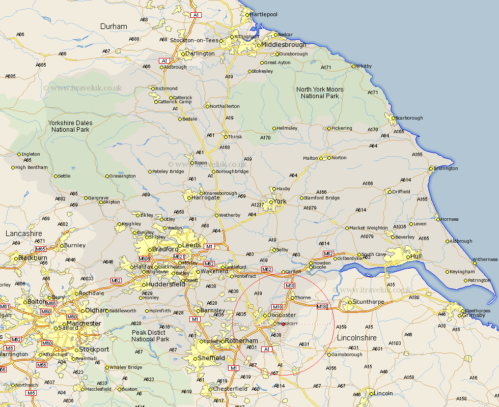
Yorkshire Map Showing Location of Auckley
Population: 3266
District: Doncaster
Easting: 465219 Northing: 400844
Latitude: 53.5 Longitude: -1.02
 = Auckley
District: Doncaster
Easting: 465219 Northing: 400844
Latitude: 53.5 Longitude: -1.02
= Auckley
This Auckley map below is supplied by Google. Use the tools in the top left corner to zoom into street level or zoom out for a road map, you may also need to zoom in to see Auckley on the map. Click and drag the map to move around. If the map fails to load try and refresh your browser or zoom in or out (+ or -).
Update - it seems Google no longer allow people to use their maps for free! This Auckley map sometimes loads and sometimes gives a error. I am working on a solution.
Closest 30 Towns or Cities to Auckley (Population over 500)
Cantley 2.2km Bessacarr 3.21km Fleckney 3.87km Armthorpe 4.31km Finningley 4.31km Rossington 4.97km Kirk Sandall 7.09km Austerfield 7.5km Doncaster 7.58km Hatfield 7.74km Barnby Don 8.12km Barnby Dun 8.12km Bawtry 9.33km Bentley 9.56km Wadworth 9.57km Wadsworth 9.57km Warmsworth 11.02km Fishlake 11.12km Stainforth 11.17km Tickhill 11.39km Moorends 11.49km Thorne 11.6km Sprotboro 12.13km Sprotbrough 12.13km Carcroft 13.28km Adwick le Street 13.28km Conisbrough 13.74km Conisborough 13.74km Braithwell 14.22km Sutton 14.89km