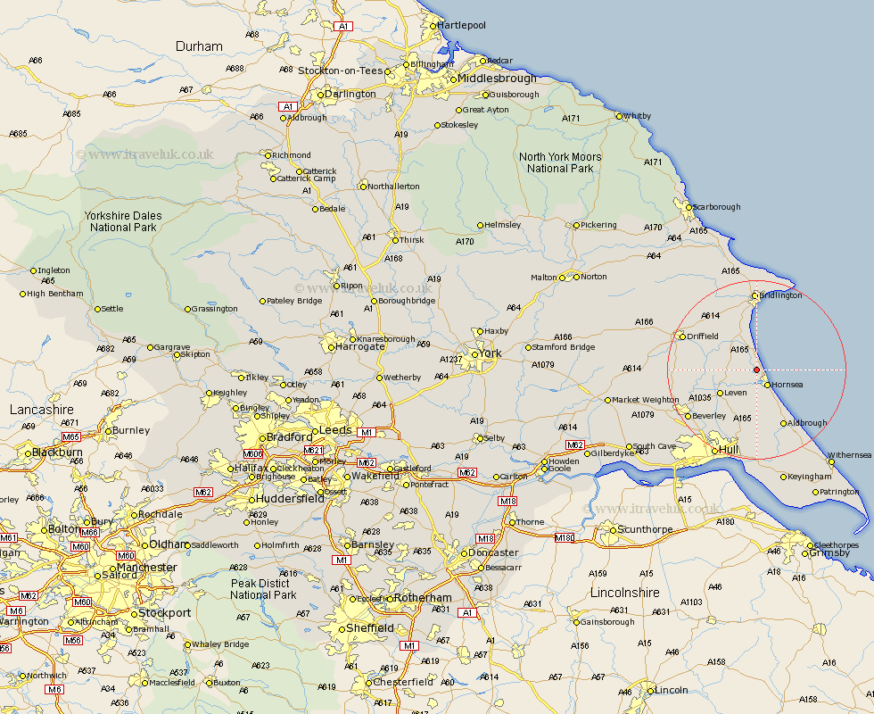
Yorkshire Map Showing Location of Atwick
Population: 318
Easting: 518160 Northing: 450097
Latitude: 53.93 Longitude: -0.2
 = Atwick
Easting: 518160 Northing: 450097
Latitude: 53.93 Longitude: -0.2
= Atwick
This Atwick map below is supplied by Google. Use the tools in the top left corner to zoom into street level or zoom out for a road map, you may also need to zoom in to see Atwick on the map. Click and drag the map to move around. If the map fails to load try and refresh your browser or zoom in or out (+ or -).
Update - it seems Google no longer allow people to use their maps for free! This Atwick map sometimes loads and sometimes gives a error. I am working on a solution.
Closest 30 Towns or Cities to Atwick (Population over 500)
Dunnington 3.76km Skipsea 3.87km Hornsea 4.3km Beeford 5.73km Brandesburton 6.8km Brandsburton 6.8km Leven 9.45km Skirlaugh Station 13.37km Aldbrough 14.07km Tickton 14.11km Nafferton 15.16km Cranswick 15.38km Walkington 16.27km Sproatley 16.71km Kilham 16.94km Driffield 17.31km Woodmansey 17.68km Wawne 17.79km Leconfield 17.98km Leckonfield 17.98km Bridlington 17.99km Beverley 18.04km Sutton on Hull 18.35km Sutton-on-Hull 18.35km Sutton 18.35km Preston 18.52km North Frodingham 18.91km Lockington 18.92km Flamborough 19.32km Burton Pidsea 19.65km