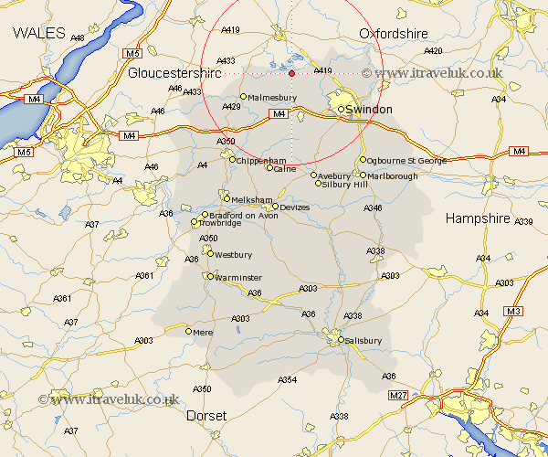
Wiltshire Map Showing Location of Ashton Keynes
Population: 1420
District: North Wiltshire
Easting: 404613 Northing: 192775
Latitude: 51.63 Longitude: -1.93
 = Ashton Keynes
District: North Wiltshire
Easting: 404613 Northing: 192775
Latitude: 51.63 Longitude: -1.93
= Ashton Keynes
This Ashton Keynes map below is supplied by Google. Use the tools in the top left corner to zoom into street level or zoom out for a road map, you may also need to zoom in to see Ashton Keynes on the map. Click and drag the map to move around. If the map fails to load try and refresh your browser or zoom in or out (+ or -).
Update - it seems Google no longer allow people to use their maps for free! This Ashton Keynes map sometimes loads and sometimes gives a error. I am working on a solution.
Closest 30 Towns or Cities to Ashton Keynes (Population over 500)
Minety 2.18km Cricklade 5.75km Purton 7.22km Lydiard Millicent 8.72km Crudwell 9.2km Brinkworth 9.89km Blunsdon St Andrew 9.92km Blunsdon Saint Andrew 9.92km Blunsdon St. Andrew 9.92km Blunsdon 9.92km Wooton Bassett 11.36km Wootton Bassett 11.36km Malmsbury 11.76km Malmesbury 11.76km Lea 11.82km Lyneham 13.17km Swindon 13.41km Stratton 13.83km Stratton St. Margaret 13.83km Stratton Saint Margaret 13.83km Stratton St Margaret 13.83km Great Somerford 14.44km Somerford 14.44km Highworth 16.21km Wroughton 16.6km Christian Malford 16.87km Broad Town 17.3km Broad Hinton 18.06km Sutton Benger 18.09km Hullavington 18.65km