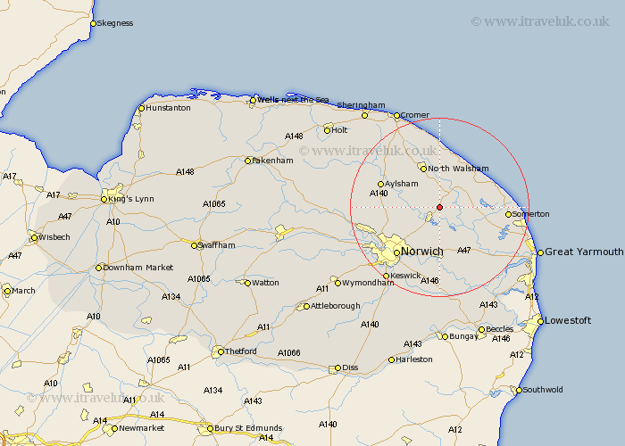
Norfolk Map Showing Location of Ashmanhaugh
Population: 197
District: North Norfolk
Easting: 631770 Northing: 320640
Latitude: 52.73 Longitude: 1.43
 = Ashmanhaugh
District: North Norfolk
Easting: 631770 Northing: 320640
Latitude: 52.73 Longitude: 1.43
= Ashmanhaugh
This Ashmanhaugh map below is supplied by Google. Use the tools in the top left corner to zoom into street level or zoom out for a road map, you may also need to zoom in to see Ashmanhaugh on the map. Click and drag the map to move around. If the map fails to load try and refresh your browser or zoom in or out (+ or -).
Update - it seems Google no longer allow people to use their maps for free! This Ashmanhaugh map sometimes loads and sometimes gives a error. I am working on a solution.
Closest 30 Towns or Cities to Ashmanhaugh (Population over 500)
Beeston Saint Lawrence 1.12km Beeston St. Lawrence 1.12km Beeston 1.12km Beeston St Lawrence 1.12km Neatishead 2.24km Smallburgh 3.88km Hoveton 4.04km Wroxham 4.33km Coltishall 4.49km Worstead 5.56km Salhouse 5.67km Horning 5.82km Horstead 5.91km Stalham 6.73km Catfield 6.73km Sutton 6.98km Lammas 6.98km Little Hautbois 6.98km Lamas Little Hautbois 6.98km Rackheath 7.15km Ludham 7.69km Potter Heigham 9.17km Hainford 9.17km Haynford 9.17km Great Plumstead 9.53km North Walsham 9.86km Spixworth 10.01km Felmingham 10.01km Hickling 10.27km Hevingham 11.37km