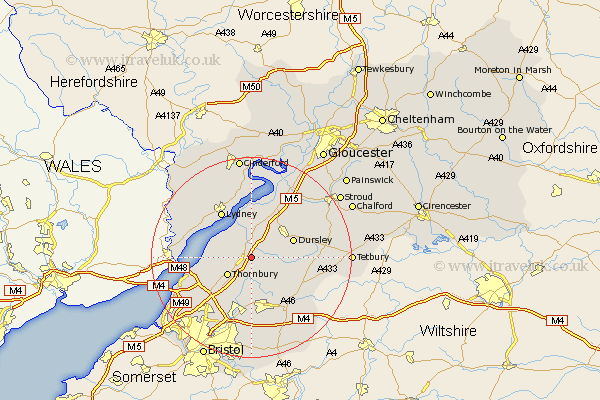
Gloucestershire Map Showing Location of Falfield
Population: 611
Easting: 368858 Northing: 192872
Latitude: 51.63 Longitude: -2.45
 = Falfield
Easting: 368858 Northing: 192872
Latitude: 51.63 Longitude: -2.45
= Falfield
This Falfield map below is supplied by Google. Use the tools in the top left corner to zoom into street level or zoom out for a road map, you may also need to zoom in to see Falfield on the map. Click and drag the map to move around. If the map fails to load try and refresh your browser or zoom in or out (+ or -).
Update - it seems Google no longer allow people to use their maps for free! This Falfield map sometimes loads and sometimes gives a error. I am working on a solution.
Closest 30 Towns or Cities to Falfield (Population over 500)
Cromhall 1.85km Stone 2.18km Charfield 2.95km Tytherington 4.36km Berkeley 5.56km North Nibley 5.91km Thornbury 5.91km Alveston 6.84km Wotton-under-Edge 6.9km Wotton under Edge 6.9km Wickwar 7.22km Rangeworthy 7.41km Dursley 8.86km Iron Acton 9.34km Olveston 9.79km Hawkesbury 9.79km Cam 10.13km Slimbridge 10.35km Uley 10.74km Lydney 10.91km Winterbourne 11.24km Frampton Cotterell 11.36km Chipping Sodbury 12.04km Aust 12.09km Coaley 12.27km Almondsbury 12.28km Woolaston 12.73km Westerleigh 13.02km Patchway 13.74km Tidenham 13.92km