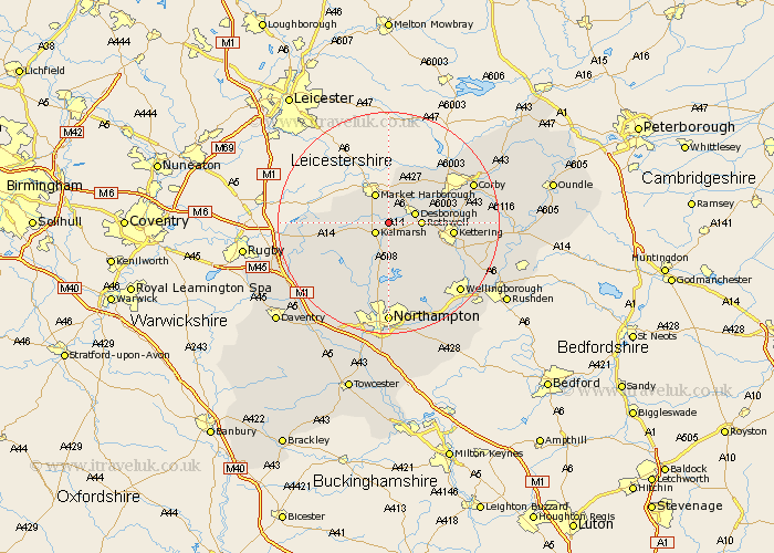
Northamptonshire Map Showing Location of Arthingworth
Population: 229
District: Daventry
Easting: 475937 Northing: 280484
Latitude: 52.42 Longitude: -0.88
 = Arthingworth
District: Daventry
Easting: 475937 Northing: 280484
Latitude: 52.42 Longitude: -0.88
= Arthingworth
This Arthingworth map below is supplied by Google. Use the tools in the top left corner to zoom into street level or zoom out for a road map, you may also need to zoom in to see Arthingworth on the map. Click and drag the map to move around. If the map fails to load try and refresh your browser or zoom in or out (+ or -).
Update - it seems Google no longer allow people to use their maps for free! This Arthingworth map sometimes loads and sometimes gives a error. I am working on a solution.
Closest 30 Towns or Cities to Arthingworth (Population over 500)
Clipston 4.52km Desborough 4.88km Rowell 5.65km Rothwell 5.65km Naseby 7.73km Wilbarston 9.31km Broughton 9.67km Walgrave 10.32km Brixworth 11.18km Welford 11.3km Kettering 11.46km Cottingham 11.68km Spratton 12.01km Guilsborough 12.2km Pitsford 12.98km Geddington 13.69km Isham 14.49km Boughton 14.88km Moulton 15.01km Overstone 15.51km West Haddon 15.52km East Haddon 15.82km Caldecott 15.85km Sywell 16.31km Corby 16.44km Burton Latimer 16.47km Stanion 16.76km Yelvertoft 16.78km Wellingborough 17.98km Long Buckby 17.98km