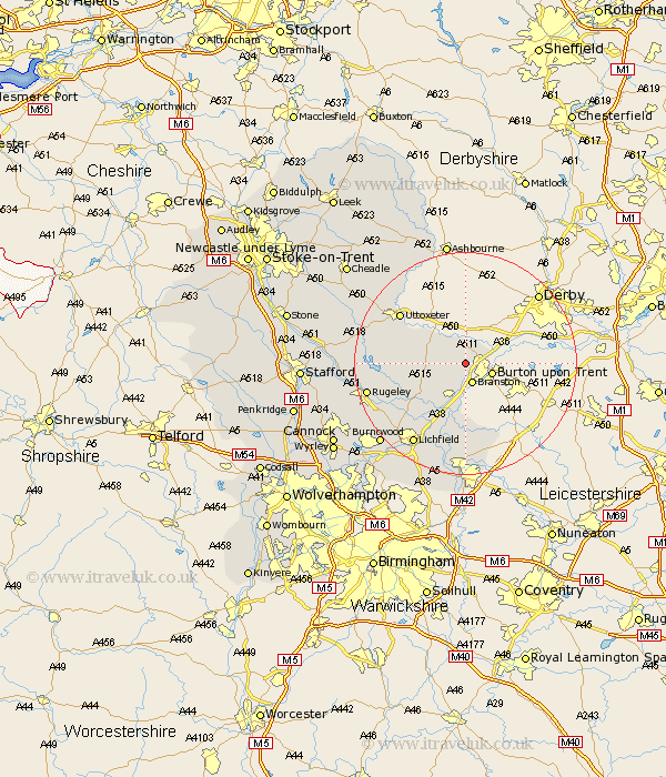
Staffordshire Map Showing Location of Anslow
Population: 669
District: East Staffordshire
Easting: 421339 Northing: 324434
Latitude: 52.82 Longitude: -1.68
 = Anslow
District: East Staffordshire
Easting: 421339 Northing: 324434
Latitude: 52.82 Longitude: -1.68
= Anslow
This Anslow map below is supplied by Google. Use the tools in the top left corner to zoom into street level or zoom out for a road map, you may also need to zoom in to see Anslow on the map. Click and drag the map to move around. If the map fails to load try and refresh your browser or zoom in or out (+ or -).
Update - it seems Google no longer allow people to use their maps for free! This Anslow map sometimes loads and sometimes gives a error. I am working on a solution.
Closest 30 Towns or Cities to Anslow (Population over 500)
Rolleston 2.9km Hatton 3.58km Tutbury 3.7km Hanbury 3.83km Branston 3.88km Tatenhill 3.88km Marchington 9.61km Yoxall 10.01km Alrewas 11.62km Edingale 12.98km Abbots Bromley 13.44km Uttoxeter 14.53km Elford 15km Clifton Campville 15.5km Whittington 15.86km Armitage 16.34km Colton 16.65km Lichfield 17.34km Longdon 17.45km Rugeley 17.71km Rocester 17.92km Wigginton 18.54km Denstone 20.08km Denston 20.08km Colwich 20.51km Burntwood 20.8km Mayfield 21.13km Alton 21.41km Leigh 22.03km Church Leigh 22.03km