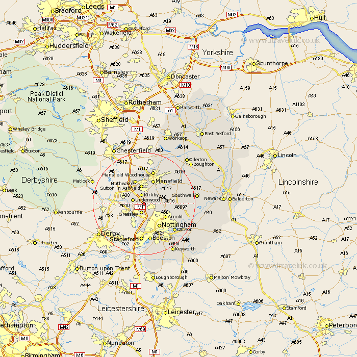
Nottinghamshire Map Showing Location of Annesley
Population: 1096
District: Ashfield
Easting: 450269 Northing: 350600
Latitude: 53.05 Longitude: -1.25
 = Annesley
District: Ashfield
Easting: 450269 Northing: 350600
Latitude: 53.05 Longitude: -1.25
= Annesley
This Annesley map below is supplied by Google. Use the tools in the top left corner to zoom into street level or zoom out for a road map, you may also need to zoom in to see Annesley on the map. Click and drag the map to move around. If the map fails to load try and refresh your browser or zoom in or out (+ or -).
Update - it seems Google no longer allow people to use their maps for free! This Annesley map sometimes loads and sometimes gives a error. I am working on a solution.
Closest 30 Towns or Cities to Annesley (Population over 500)
Newstead 2.9km Greasley 3.87km Kirkby 3.87km Kirkby in Ashfield 3.87km Papplewick 4.46km Underwood 4.48km Selston 4.83km Brinsley 5.79km Eastwood 6.49km Sutton in Ashfield 7.5km Kimberley 7.5km Awsworth 7.74km Blidworth 8.63km Cossall 9.53km Arnold 9.58km Hucknall-under-Huthwaite 9.85km Hucknall 9.85km Hucknall under Huthwaite 9.85km Huthwaite 9.85km Mansfield 9.85km Nottingham 10.81km Nottigham 10.81km Calverton 11.3km Claverton 11.3km Rainworth 11.59km Oxton 12.25km Woodborough 12.81km Pleasley 12.98km Trowell 13.17km Mansfield Woodhouse 13.4km