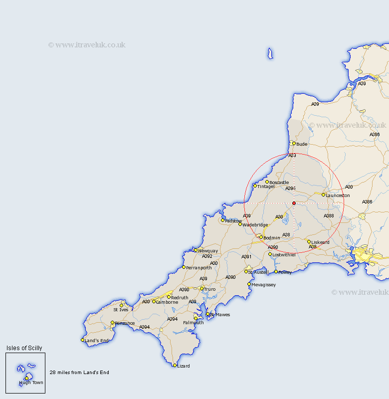
Cornwall Map Showing Location of Altarnun
Population: 976
District: North Cornwall
Easting: 220741 Northing: 80937
Latitude: 50.6 Longitude: -4.53
 = Altarnun
District: North Cornwall
Easting: 220741 Northing: 80937
Latitude: 50.6 Longitude: -4.53
= Altarnun
This Altarnun map below is supplied by Google. Use the tools in the top left corner to zoom into street level or zoom out for a road map, you may also need to zoom in to see Altarnun on the map. Click and drag the map to move around. If the map fails to load try and refresh your browser or zoom in or out (+ or -).
Update - it seems Google no longer allow people to use their maps for free! This Altarnun map sometimes loads and sometimes gives a error. I am working on a solution.
Closest 30 Towns or Cities to Altarnun (Population over 500)
Lewannick 7.06km North Hill 8.99km Camelford 10.75km South Petherwin 10.75km North Petherwin 11.64km Launceston 12.33km Lezant 13.07km Linkinhorne 13.91km Blisland 14.07km Cardinham 15.37km Cardingham 15.37km Forrabury 15.9km Dobwalls 16.72km Tintagel 16.99km Liskeard 17.69km Poundstock 18.57km Pounstock 18.57km Bodmin 19.69km Callington 19.89km Menheniot 20.29km Marhamchurch 22.27km Markhamchurch 22.27km Wadebridge 23.13km Lanivet 23.46km Lostwithiel 24.16km Lanreath 24.21km Duloe 24.36km Morval 24.81km St. Blazey 25.74km St Blazey 25.74km