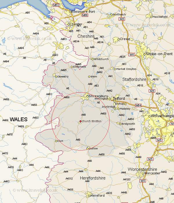
Shropshire Map Showing Location of All Stretton
Population: 121
District: Shrewsbury and Atcham
Easting: 345760 Northing: 295024
Latitude: 52.55 Longitude: -2.8
 = All Stretton
District: Shrewsbury and Atcham
Easting: 345760 Northing: 295024
Latitude: 52.55 Longitude: -2.8
= All Stretton
This All Stretton map below is supplied by Google. Use the tools in the top left corner to zoom into street level or zoom out for a road map, you may also need to zoom in to see All Stretton on the map. Click and drag the map to move around. If the map fails to load try and refresh your browser or zoom in or out (+ or -).
Update - it seems Google no longer allow people to use their maps for free! This All Stretton map sometimes loads and sometimes gives a error. I am working on a solution.
Closest 30 Towns or Cities to All Stretton (Population over 500)
Rushbury 6.74km Wistanstow 9.86km Diddlebury 10.84km Condover 11.62km Pontesbury 12.46km Minsterley 12.92km Shelve 12.93km Berrington 13.01km Craven Arms 13.17km Baystonhill 13.41km North Lydbury 13.74km Lydbury North 13.74km Great Hanwood 14.86km Hanwood 14.86km Cressage 15.47km Ditton Priors 16.74km Much Wenlock 17.79km Westbury 17.95km Ford 18.84km Shrewsbury 19.07km Chirbury 19.5km Chirburg 19.5km Bitterley 19.53km Bicton 20.41km Ludlow 20.88km Alberbury 21.12km Clun 21.66km Broseley 22.64km Bucknell 22.78km Wrockwardine 22.94km