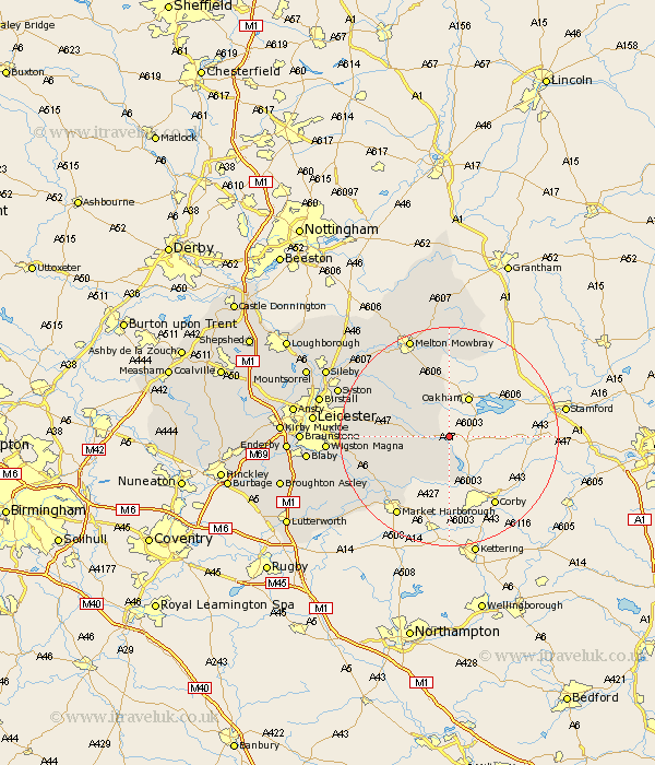
Leicestershire Map Showing Location of Allexton
Population: 58
District: Harborough
Easting: 482394 Northing: 300980
Latitude: 52.6 Longitude: -0.78
 = Allexton
District: Harborough
Easting: 482394 Northing: 300980
Latitude: 52.6 Longitude: -0.78
= Allexton
This Allexton map below is supplied by Google. Use the tools in the top left corner to zoom into street level or zoom out for a road map, you may also need to zoom in to see Allexton on the map. Click and drag the map to move around. If the map fails to load try and refresh your browser or zoom in or out (+ or -).
Update - it seems Google no longer allow people to use their maps for free! This Allexton map sometimes loads and sometimes gives a error. I am working on a solution.
Closest 30 Towns or Cities to Allexton (Population over 500)
Hallaton 6.51km Somerby 8.15km Great Easton 9.53km Billesdon 10.13km Twyford 11.66km Houghton-on-the-Hill 13.63km Houghton 13.63km Houghton on the Hill 13.63km Bowden 15.19km Great Bowden 15.19km Kibworth Harcourt 15.42km Kibworth 15.42km Gaddesby 16.63km Wymondham 17.02km Great Glen 17.29km Market Harborough 17.35km Lubenham 18.62km Queniborough 19.24km Queniboro 19.24km Frisby 19.3km Frisby on the Wreak 19.3km Frisby-on-the-Wreak 19.3km Melton Mowbray 19.72km Oadby 20.35km Hoby 20.81km Syston 21.24km Rearsby 21.28km Wigston 21.47km Wigston Magna 21.47km Waltham-on-the-Wolds 22.27km