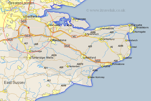
Kent Map Showing Location of Fawham Green
District: Sevenoaks
Easting: 557770 Northing: 165560
Latitude: 51.37 Longitude: 0.27
 = Fawham Green
Easting: 557770 Northing: 165560
Latitude: 51.37 Longitude: 0.27
= Fawham Green
This Fawham Green map below is supplied by Google. Use the tools in the top left corner to zoom into street level or zoom out for a road map, you may also need to zoom in to see Fawham Green on the map. Click and drag the map to move around. If the map fails to load try and refresh your browser or zoom in or out (+ or -).
Update - it seems Google no longer allow people to use their maps for free! This Fawham Green map sometimes loads and sometimes gives a error. I am working on a solution.
Closest 30 Towns or Cities to Fawham Green (Population over 500)
Ash 2.96km Hartley 3.47km Farningham 3.47km West Kingsdown 3.88km Longfield 3.93km Eynsford 3.94km Southfleet 5.08km Ridley 5.08km Darenth 6.03km Hextable 6.9km Meopham 6.94km Swanley 7.18km Wilmington 7.24km Stonewood 7.5km Kemsing 7.77km Shoreham 8.03km Swanscombe 8.18km Wrotham 8.19km Northfleet 8.73km Otford 9.41km Cobham 9.44km Borough Green 9.55km Dartford 9.89km Seal 9.9km Gravesend 10.15km Fort Halstead 10.8km Halstead 10.8km Halsted 10.8km Ryarsh 10.98km Offham 11.58km