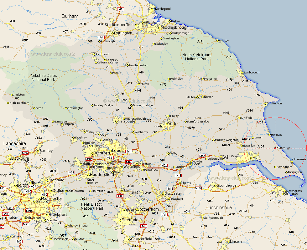
Yorkshire Map Showing Location of Aldbrough
Population: 1336
Easting: 523974 Northing: 437270
Latitude: 53.82 Longitude: -0.12
 = Aldbrough
Easting: 523974 Northing: 437270
Latitude: 53.82 Longitude: -0.12
= Aldbrough
This Aldbrough map below is supplied by Google. Use the tools in the top left corner to zoom into street level or zoom out for a road map, you may also need to zoom in to see Aldbrough on the map. Click and drag the map to move around. If the map fails to load try and refresh your browser or zoom in or out (+ or -).
Update - it seems Google no longer allow people to use their maps for free! This Aldbrough map sometimes loads and sometimes gives a error. I am working on a solution.
Closest 30 Towns or Cities to Aldbrough (Population over 500)
Walkington 4.38km Burton Pidsea 5.67km Sproatley 5.74km Preston 7.8km Roos 8.61km Skirlaugh Station 8.75km Burstwick 9.34km Hornsea 9.83km Hedon 10.26km Thorngumbold 11.59km Thorngumbald 11.59km Keyingham 12.98km Ottringham 13.16km Paull 13.51km Withernsea 13.53km Sutton-on-Hull 13.65km Sutton on Hull 13.65km Sutton 13.65km Leven 15.06km Wawne 15.43km Hull 15.72km Brandesburton 16.38km Brandsburton 16.38km Dunnington 17.21km Woodmansey 17.51km Cottingham 17.9km Skipsea 17.92km Patrington 17.93km Kingston upon Hull 18.07km Tickton 18.36km