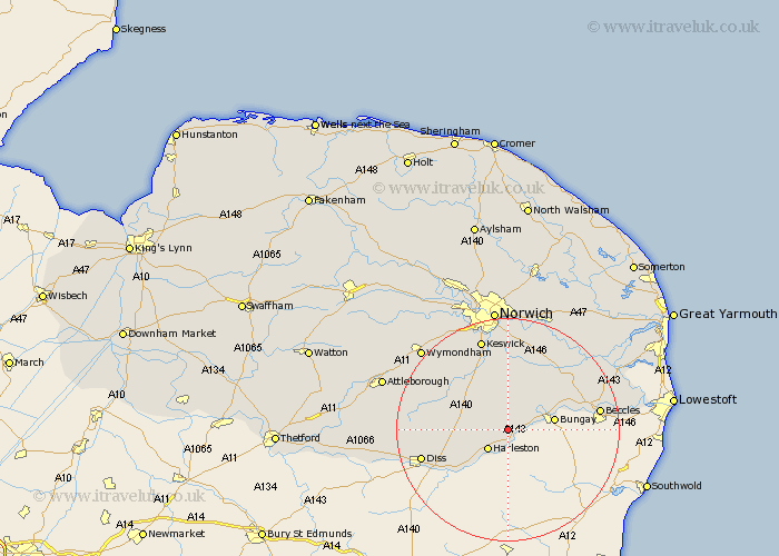
Norfolk Map Showing Location of Alburgh
Population: 349
District: South Norfolk
Easting: 626564 Northing: 286970
Latitude: 52.43 Longitude: 1.33
 = Alburgh
District: South Norfolk
Easting: 626564 Northing: 286970
Latitude: 52.43 Longitude: 1.33
= Alburgh
This Alburgh map below is supplied by Google. Use the tools in the top left corner to zoom into street level or zoom out for a road map, you may also need to zoom in to see Alburgh on the map. Click and drag the map to move around. If the map fails to load try and refresh your browser or zoom in or out (+ or -).
Update - it seems Google no longer allow people to use their maps for free! This Alburgh map sometimes loads and sometimes gives a error. I am working on a solution.
Closest 30 Towns or Cities to Alburgh (Population over 500)
Harleston 5.02km Pulham 5.94km Earsham 5.95km Ditchingham 7.73km Hempnall 7.75km Brockdish 8.68km Long Stratton 8.76km Moulton Saint Michael 10.82km Moulton St Michael 10.82km Moulton St. Michael 10.82km Moulton 10.82km Great Moulton 10.82km Ellingham 10.82km Forncett St Mary 11.69km Forncett 11.69km Forncett St. Mary 11.69km Forncett Saint Mary 11.69km Saxlingham Thorpe 12km Saxlingham 12km Loddon 12.94km Burston 12.97km Poringland 13.03km Stoke Holy Cross 13.17km Brooke 13.41km Scole 13.52km Thurton 14.64km Mulbarton 14.64km Bunwell 14.65km Ashwellthorpe 15.06km Diss 15.71km