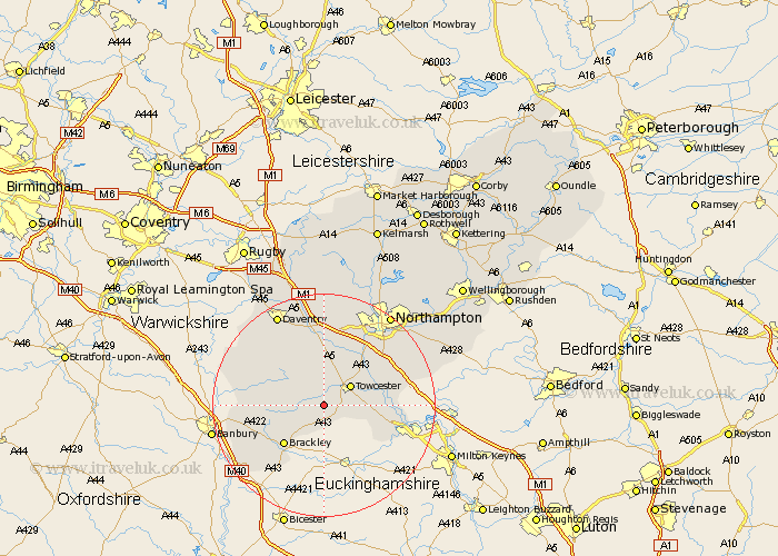
Northamptonshire Map Showing Location of Abthorpe
Population: 285
District: South Northamptonshire
Easting: 465065 Northing: 245100
Latitude: 52.1 Longitude: -1.05
 = Abthorpe
District: South Northamptonshire
Easting: 465065 Northing: 245100
Latitude: 52.1 Longitude: -1.05
= Abthorpe
This Abthorpe map below is supplied by Google. Use the tools in the top left corner to zoom into street level or zoom out for a road map, you may also need to zoom in to see Abthorpe on the map. Click and drag the map to move around. If the map fails to load try and refresh your browser or zoom in or out (+ or -).
Update - it seems Google no longer allow people to use their maps for free! This Abthorpe map sometimes loads and sometimes gives a error. I am working on a solution.
Closest 30 Towns or Cities to Abthorpe (Population over 500)
Silverstone 2.94km Syresham 4.35km Whittlebury 4.92km Towcester 5.87km Helmdon 5.99km Pattishall 7.76km Paulerspury 8.18km Gayton 9.35km Greatworth 9.83km Brackley 10.09km Blisworth 10.88km Bugbrooke 11.35km Potterspury 11.98km Roade 12.66km Milton 12.98km Weedon 13.03km Weedon Beck 13.03km Collingtree 13.8km Hartwell 14.15km Kislingbury 14.17km Byfield 14.55km Wootton 14.67km Denshanger 14.76km Deanshanger 14.76km Flore 14.83km Chipping Warden 14.91km Harpole 15.5km Badby 15.85km Hardingstone 15.9km Chalcombe 16.05km