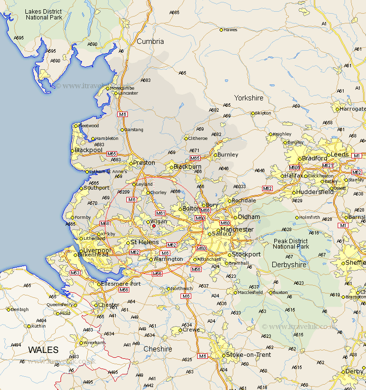
Lancashire Map Showing Location of Abram
Population: 11275
Area Size (ha): 189
District: Wigan
Easting: 361325 Northing: 402410
Latitude: 53.52 Longitude: -2.58
 = Abram
Area Size (ha): 189
District: Wigan
Easting: 361325 Northing: 402410
Latitude: 53.52 Longitude: -2.58
= Abram
This Abram map below is supplied by Google. Use the tools in the top left corner to zoom into street level or zoom out for a road map, you may also need to zoom in to see Abram on the map. Click and drag the map to move around. If the map fails to load try and refresh your browser or zoom in or out (+ or -).
Update - it seems Google no longer allow people to use their maps for free! This Abram map sometimes loads and sometimes gives a error. I am working on a solution.
Closest 30 Towns or Cities to Abram (Population over 500)
Hindley 1.85km Ince 2.87km Wigan 2.87km Ince-in-Makerfield 2.87km Atherton 5.51km Golborne 5.67km Westhoughton 5.75km Ashton in Makerfield 5.76km Ashton 5.76km Leigh 5.76km Blackrod 7.41km Tyldesley 7.71km Haydock 7.83km Billinge 7.94km Shevington 8.64km Standish 9.23km Haigh 9.26km Adlington 9.33km Horwich 9.52km Appley Bridge 10.42km Coppull 11.96km Walkden 12.12km Bolton 12.37km St Helens 12.39km St. Helens 12.39km Saint Helens 12.39km Farnworth 12.67km Kearsley 13.35km Parbold 14.2km Rainford 14.33km