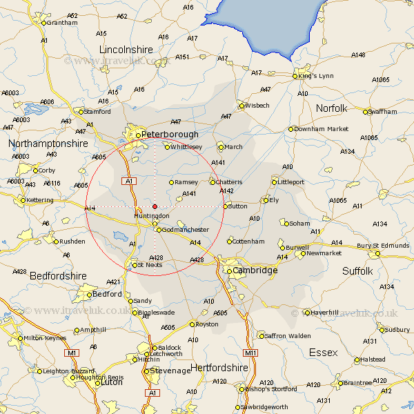
Cambridgeshire Map Showing Location of Abbots Ripton
Population: 309
District: Huntingdonshire
Easting: 523630 Northing: 277735
Latitude: 52.38 Longitude: -0.18
 = Abbots Ripton
District: Huntingdonshire
Easting: 523630 Northing: 277735
Latitude: 52.38 Longitude: -0.18
= Abbots Ripton
This Abbots Ripton map below is supplied by Google. Use the tools in the top left corner to zoom into street level or zoom out for a road map, you may also need to zoom in to see Abbots Ripton on the map. Click and drag the map to move around. If the map fails to load try and refresh your browser or zoom in or out (+ or -).
Update - it seems Google no longer allow people to use their maps for free! This Abbots Ripton map sometimes loads and sometimes gives a error. I am working on a solution.
Closest 30 Towns or Cities to Abbots Ripton (Population over 500)
Huntingdon 5.56km Alconbury 5.95km Wistow 5.95km Bury 6.76km Wyton 7.17km Godmanchester 7.49km Durolipons 7.49km Sawtry 7.93km Warboys 8.13km Brampton Grange 8.15km Brampton 8.15km Hemingford Grey 8.68km Hemingford 8.68km Ramsey 8.69km Hemingford Abbots 9.32km West Hemingford 9.32km Holme 9.87km Ellington 10.05km Offord Cluny 11.18km Offord 11.18km Grafham 11.49km Graffham 11.49km Spaldwick 11.61km Buckden 12.01km Saint Ives 12.19km St Ives 12.19km St. Ives 12.19km Fen Stanton 12.19km Somersham 12.44km Stilton 13.02km