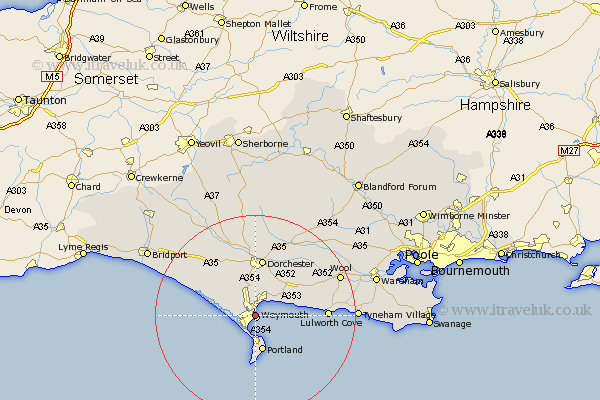
Dorset Map Showing Location of Melcombe Regis
District: Weymouth and Portland
Easting: 367968 Northing: 79517
Latitude: 50.61 Longitude: -2.45
 = Melcombe Regis
Easting: 367968 Northing: 79517
Latitude: 50.61 Longitude: -2.45
= Melcombe Regis
This Melcombe Regis map below is supplied by Google. Use the tools in the top left corner to zoom into street level or zoom out for a road map, you may also need to zoom in to see Melcombe Regis on the map. Click and drag the map to move around. If the map fails to load try and refresh your browser or zoom in or out (+ or -).
Update - it seems Google no longer allow people to use their maps for free! This Melcombe Regis map sometimes loads and sometimes gives a error. I am working on a solution.
Closest 30 Towns or Cities to Melcombe Regis (Population over 500)
Weymouth 0.48km Overcombe 2.87km West Chickerel 3.35km Chickerell 3.35km Bincombe 4.02km Preston 4.75km Osmington 6.45km Fortuneswell 7.11km Upton 7.22km Island of Portland 7.24km Isle of Portland 7.24km Portland 7.24km Weston 8.19km Easton 8.96km Broadmayne 9.14km Portisham 9.95km Portesham 9.95km Dorchester 11.51km Abbotsbury 11.93km Charminster 13.28km Winfrith 13.73km Winfrith Newburgh 13.73km Lulworth Cove 14.31km West Lulworth 14.31km Puddletown 16.78km Piddletown 16.78km Bovington Camp 17.2km Wool 18.51km Maiden Newton 18.79km Piddletrenthide 19.01km