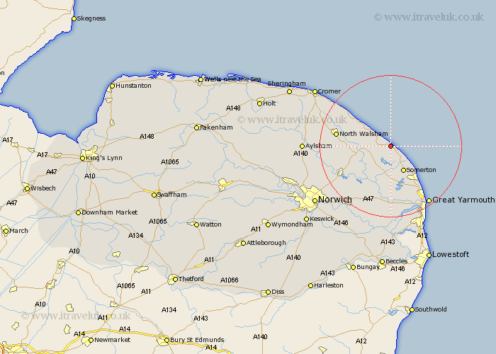
Norfolk Map Showing Location of Sea Palling
Population: 488
District: North Norfolk
Easting: 642739 Northing: 326749
Latitude: 52.78 Longitude: 1.6
 = Sea Palling
District: North Norfolk
Easting: 642739 Northing: 326749
Latitude: 52.78 Longitude: 1.6
= Sea Palling
This Sea Palling map below is supplied by Google. Use the tools in the top left corner to zoom into street level or zoom out for a road map, you may also need to zoom in to see Sea Palling on the map. Click and drag the map to move around. If the map fails to load try and refresh your browser or zoom in or out (+ or -).
Update - it seems Google no longer allow people to use their maps for free! This Sea Palling map sometimes loads and sometimes gives a error. I am working on a solution.
Closest 30 Towns or Cities to Sea Palling (Population over 500)
Hickling 3.87km Happisburgh 4.34km Sutton 5.82km Stalham 5.9km Catfield 7.14km Potter Heigham 7.74km Walcott 8.72km Martham 9.33km Winterton on Sea 10.01km Winterton 10.01km Winterton-on-Sea 10.01km Smallburgh 10.26km Ludham 10.29km Neatishead 10.56km Worstead 11.21km Horning 11.45km Beeston St Lawrence 11.52km Beeston St. Lawrence 11.52km Beeston Saint Lawrence 11.52km Beeston 11.52km Bacton 11.63km Rollesby 11.99km Hemsby 13km Ormesby St Margaret 14.61km Ormesby St. Margaret 14.61km Great Ormesby 14.61km Ormesby Saint Margaret 14.61km North Walsham 15.03km Upton 15.2km Trunch 15.35km