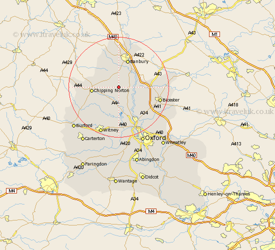
Oxfordshire Map Showing Location of Nether Worton
Population: 67
District: West Oxfordshire
Easting: 442377 Northing: 228172
Latitude: 51.95 Longitude: -1.38
 = Nether Worton
District: West Oxfordshire
Easting: 442377 Northing: 228172
Latitude: 51.95 Longitude: -1.38
= Nether Worton
This Nether Worton map below is supplied by Google. Use the tools in the top left corner to zoom into street level or zoom out for a road map, you may also need to zoom in to see Nether Worton on the map. Click and drag the map to move around. If the map fails to load try and refresh your browser or zoom in or out (+ or -).
Update - it seems Google no longer allow people to use their maps for free! This Nether Worton map sometimes loads and sometimes gives a error. I am working on a solution.
Closest 30 Towns or Cities to Nether Worton (Population over 500)
Barford St. John 3.87km Barford 3.87km Barford St John 3.87km Barford Saint John 3.87km Duns Tew 3.9km Bloxham 5.68km Deddington 5.88km Enstone 5.88km Steeple Aston 6.81km Adderbury 7.2km Hook Norton 7.79km Upper Heyford 8.21km Fritwell 10.28km Tackley 10.33km Chipping Norton 10.39km Charlbury 10.88km Ardley 11.57km Banbury 11.64km Chadlington 11.77km Woodstock 12.02km Kirtlington 12.24km Wroxton 13.03km Stonesfield 13.42km Bletchingdon 13.7km Churchill 14.8km Caversfield 14.97km Bladon 15km Chesterton 15.59km Kidlington 16.33km Barton 16.41km