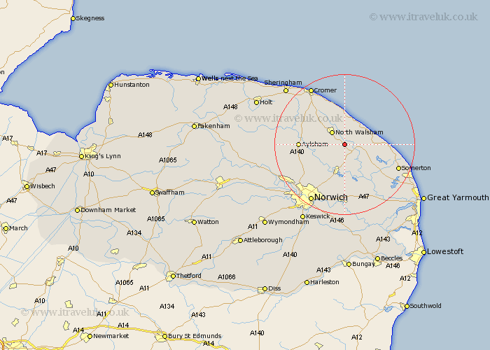
Norfolk Map Showing Location of Worstead
Population: 862
District: North Norfolk
Easting: 631504 Northing: 326199
Latitude: 52.78 Longitude: 1.43
 = Worstead
District: North Norfolk
Easting: 631504 Northing: 326199
Latitude: 52.78 Longitude: 1.43
= Worstead
This Worstead map below is supplied by Google. Use the tools in the top left corner to zoom into street level or zoom out for a road map, you may also need to zoom in to see Worstead on the map. Click and drag the map to move around. If the map fails to load try and refresh your browser or zoom in or out (+ or -).
Update - it seems Google no longer allow people to use their maps for free! This Worstead map sometimes loads and sometimes gives a error. I am working on a solution.
Closest 30 Towns or Cities to Worstead (Population over 500)
Smallburgh 2.16km North Walsham 5.01km Beeston 5.67km Beeston St Lawrence 5.67km Beeston St. Lawrence 5.67km Beeston Saint Lawrence 5.67km Stalham 5.9km Neatishead 6km Felmingham 6.98km Walcott 7.14km Coltishall 7.14km Sutton 7.68km Little Hautbois 7.68km Lammas 7.68km Lamas Little Hautbois 7.68km Trunch 7.75km Bacton 7.75km Catfield 8.73km Horstead 9.29km Hoveton 9.31km Mundersley 9.34km Mundesley 9.34km Wroxham 9.53km Happisburgh 9.7km Horning 10.29km Hickling 10.75km Salhouse 11.18km Ludham 11.45km Haynford 11.64km Hainford 11.64km