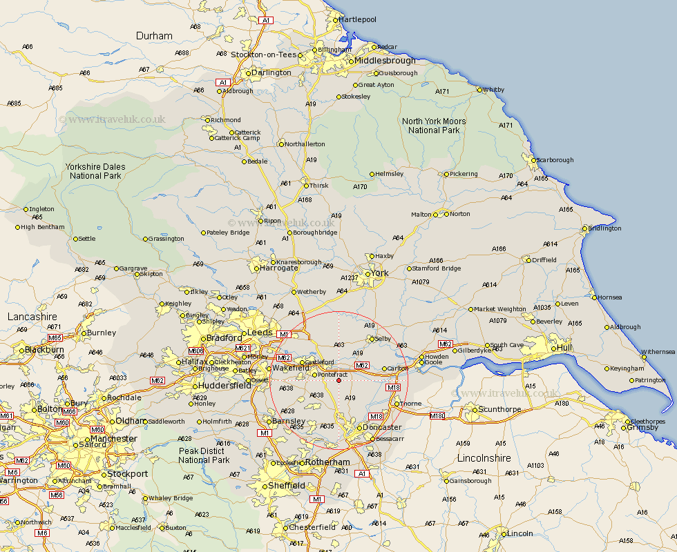
Yorkshire Map Showing Location of Womersley
Population: 363
District: Selby
Easting: 452852 Northing: 419236
Latitude: 53.67 Longitude: -1.2
 = Womersley
District: Selby
Easting: 452852 Northing: 419236
Latitude: 53.67 Longitude: -1.2
= Womersley
This Womersley map below is supplied by Google. Use the tools in the top left corner to zoom into street level or zoom out for a road map, you may also need to zoom in to see Womersley on the map. Click and drag the map to move around. If the map fails to load try and refresh your browser or zoom in or out (+ or -).
Update - it seems Google no longer allow people to use their maps for free! This Womersley map sometimes loads and sometimes gives a error. I am working on a solution.
Closest 30 Towns or Cities to Womersley (Population over 500)
Darrington 3.29km Whitley 3.78km Norton 3.87km Knottingley 4.3km Knottingly 4.3km Campsall 5.67km North Elmsall 6.46km Pontefract 6.84km Brotherton 7.08km Askern 7.09km Hensall 7.55km Sutton 7.74km Upton 7.82km Badsworth 8.62km Pollington 8.78km High Ackworth 8.98km Ackworth Moor Top 8.98km Ackworth 8.98km Monk Fryston 9.52km South Elmsall 10.78km South Kirkby 10.92km Snaith 11.13km Carcroft 11.17km Adwick le Street 11.17km Hambleton 11.33km Castleford 11.33km Moorthorpe 11.38km Featherstone 11.58km South Milford 11.6km Hemsworth 12.36km