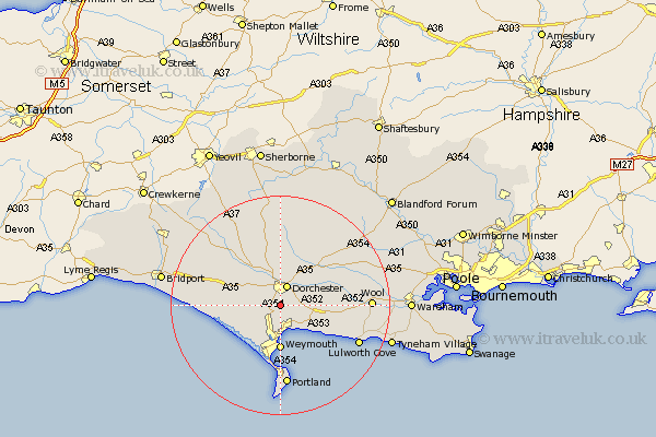
Dorset Map Showing Location of Monkton
Population: 84
District: West Dorset
Easting: 368212 Northing: 87232
Latitude: 50.68 Longitude: -2.45
 = Monkton
District: West Dorset
Easting: 368212 Northing: 87232
Latitude: 50.68 Longitude: -2.45
= Monkton
This Monkton map below is supplied by Google. Use the tools in the top left corner to zoom into street level or zoom out for a road map, you may also need to zoom in to see Monkton on the map. Click and drag the map to move around. If the map fails to load try and refresh your browser or zoom in or out (+ or -).
Update - it seems Google no longer allow people to use their maps for free! This Monkton map sometimes loads and sometimes gives a error. I am working on a solution.
Closest 30 Towns or Cities to Monkton (Population over 500)
Bincombe 3.7km Dorchester 3.9km Preston 4.38km Broadmayne 4.7km Overcombe 5.4km Charminster 5.56km Upton 7.28km Osmington 8.09km Weymouth 8.15km Chickerell 8.2km West Chickerel 8.2km Portesham 8.43km Portisham 8.43km Piddletown 10.23km Puddletown 10.23km Abbotsbury 10.73km Puddletrenthide 11.36km Piddletrenthide 11.36km Maiden Newton 12.39km Cerne Abbas 13.03km Winfrith Newburgh 13.44km Winfrith 13.44km Bovington Camp 14.21km Fortuneswell 14.82km Island of Portland 14.87km Isle of Portland 14.87km Portland 14.87km Milborne 14.95km Milborne St. Andrew 14.95km Milborne St Andrew 14.95km