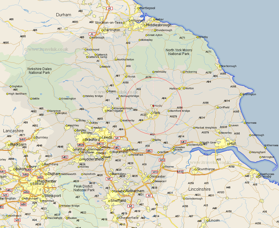
Yorkshire Map Showing Location of Wigginton
Population: 3714
Easting: 461148 Northing: 458278
Latitude: 54.02 Longitude: -1.07
 = Wigginton
Easting: 461148 Northing: 458278
Latitude: 54.02 Longitude: -1.07
= Wigginton
This Wigginton map below is supplied by Google. Use the tools in the top left corner to zoom into street level or zoom out for a road map, you may also need to zoom in to see Wigginton on the map. Click and drag the map to move around. If the map fails to load try and refresh your browser or zoom in or out (+ or -).
Update - it seems Google no longer allow people to use their maps for free! This Wigginton map sometimes loads and sometimes gives a error. I am working on a solution.
Closest 30 Towns or Cities to Wigginton (Population over 500)
Huntington 2.15km Earswick 2.15km New Earswick 3.71km Strensall 4.3km Skelton 4.74km York 5.66km Shipton 5.75km Clifton 5.97km Heslington 7.73km Poppleton 7.78km Upper Poppleton 7.78km Huby 8.59km Sheriff Hutton 8.59km Bishopthorne 9.53km Bishopthorpe 9.53km Stillington 9.82km Newton 9.97km Newton upon Ouse 9.97km Stamford Bridge 10.48km Tollerton 11.26km Rufforth 11.45km Copmanthorpe 11.94km Linton-on-Ouse 12.12km Linton upon Ouse 12.12km Linton 12.12km Linton on Ouse 12.12km Terrington 12.89km Acaster Malbis 13.16km Alne 13.16km Long Marston 13.18km